Where is Calaveras County, California?
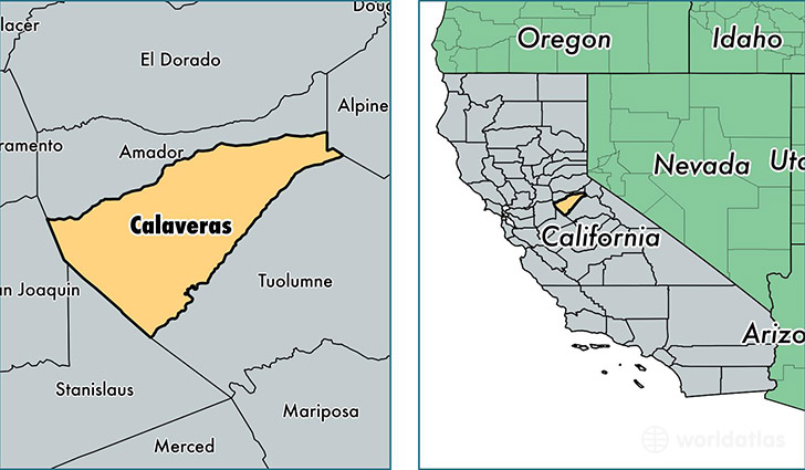
Calaveras County is a county equivalent area found in California, USA. The county government of Calaveras is found in the county seat of San Andreas.
With a total 2,685.63 sq. km of land and water area, Calaveras County, California is the 730th largest county equivalent area in the United States. Home to 44,624 people, Calaveras County has a total 27949 households earning 55295 on average per year.
Calaveras County, California - Quick Facts
| FIPS Code | 6009 |
| Area Codes | 209 |
| Time Zone | PST |
| Major Cities | Valley Springs (population: 13,213), Angels Camp (population: 5,194), Arnold (population: 4,524), Murphys (population: 4,287), San Andreas (population: 3,967), Copperopolis (population: 3,903), Mokelumne Hill (population: 2,235), West Point (population: 2,004), Mountain Ranch (population: 1,585), Altaville (population: 772) |
| Land Area | 17,229 sq miles |
| Water Area | 1,020 sq miles |
| Household Income | $55,295 |
| Housing Units | 27,949 |
| Median Home Value | $254,800 |
| High School Grads | 93% of population |
| Holders of Bachelors Degrees | 21% of population |
| Retail Spending | $6,249 per capita |
| Food & Accomodation Sales | $42,359 per capita |
This page was last updated on June 30, 2016.