Where is Yuma County, Arizona?
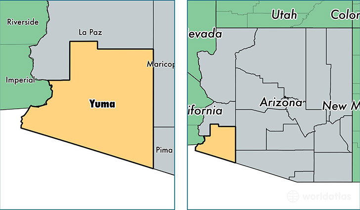
Yuma County is a county equivalent area found in Arizona, USA. The county government of Yuma is found in the county seat of Yuma.
With a total 14,294.36 sq. km of land and water area, Yuma County, Arizona is the 71st largest county equivalent area in the United States. Home to 203,247 people, Yuma County has a total 89638 households earning 41595 on average per year.
Yuma County, Arizona - Quick Facts
| FIPS Code | 4027 |
| Area Codes | 928 |
| Time Zone | MST |
| Major Cities | Yuma (population: 144,985), San Luis (population: 26,073), Somerton (population: 21,676), Wellton (population: 4,638), Dateland (population: 808), Roll (population: 731), Gadsden (population: 715), Tacna (population: 471) |
| Land Area | 78,474 sq miles |
| Water Area | 5,514 sq miles |
| Household Income | $41,595 |
| Housing Units | 89,638 |
| Median Home Value | $118,000 |
| High School Grads | 72% of population |
| Holders of Bachelors Degrees | 14% of population |
| Retail Spending | $10,596 per capita |
| Food & Accomodation Sales | $271,852 per capita |
| Universities and Colleges | Arizona Western College |
This page was last updated on June 30, 2016.