Where is Navajo County, Arizona?
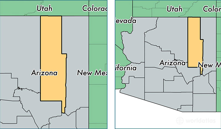
Navajo County is a county equivalent area found in Arizona, USA. The county government of Navajo is found in the county seat of Holbrook.
With a total 25,795.58 sq. km of land and water area, Navajo County, Arizona is the 28th largest county equivalent area in the United States. Home to 108,101 people, Navajo County has a total 57325 households earning 36927 on average per year.
Navajo County, Arizona offers the following attraction to visitors: Navajo NM
Navajo County, Arizona - Quick Facts
| FIPS Code | 4017 |
| Area Codes | 928 |
| Time Zone | MST |
| Major Cities | Show Low (population: 17,165), Winslow (population: 14,933), Whiteriver (population: 9,900), Lakeside (population: 8,294), Kayenta (population: 7,823), Snowflake (population: 7,612), Holbrook (population: 5,657), Pinon (population: 5,340), Pinetop (population: 4,719), Taylor (population: 4,385) |
| Land Area | 41,738 sq miles |
| Water Area | 9,951 sq miles |
| Household Income | $36,927 |
| Housing Units | 57,325 |
| Median Home Value | $112,200 |
| High School Grads | 81% of population |
| Holders of Bachelors Degrees | 15% of population |
| Retail Spending | $11,148 per capita |
| Food & Accomodation Sales | $191,458 per capita |
This page was last updated on June 30, 2016.