Where is Conway County, Arkansas?
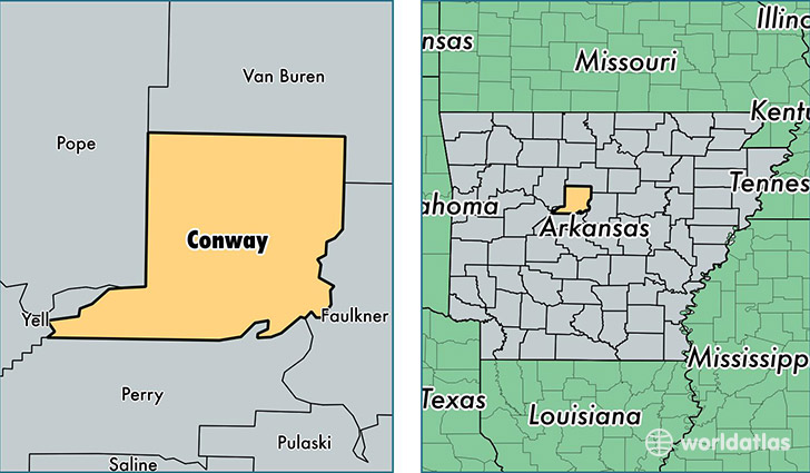
Conway County is a county equivalent area found in Arkansas, USA. The county government of Conway is found in the county seat of Morrilton.
With a total 1,467.66 sq. km of land and water area, Conway County, Arkansas is the 1948th largest county equivalent area in the United States. Home to 21,083 people, Conway County has a total 9664 households earning 35225 on average per year.
Conway County, Arkansas - Quick Facts
| FIPS Code | 5029 |
| Area Codes | 501 |
| Time Zone | CST |
| Major Cities | Morrilton (population: 11,505), Plumerville (population: 2,150), Hattieville (population: 1,684), Springfield (population: 1,608), Center Ridge (population: 1,417), Cleveland (population: 701), Solgohachia (population: 639), Menifee (population: 339) |
| Land Area | 8,140 sq miles |
| Water Area | 552 sq miles |
| Household Income | $35,225 |
| Housing Units | 9,664 |
| Median Home Value | $86,100 |
| High School Grads | 85% of population |
| Holders of Bachelors Degrees | 15% of population |
| Retail Spending | $13,074 per capita |
| Food & Accomodation Sales | $16,218 per capita |
This page was last updated on June 30, 2016.