Where is Tuscaloosa County, Alabama?
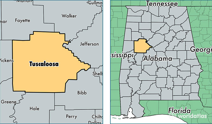
Tuscaloosa County is a county equivalent area found in Alabama, USA. The county government of Tuscaloosa is found in the county seat of Tuscaloosa.
With a total 3,499.72 sq. km of land and water area, Tuscaloosa County, Alabama is the 501st largest county equivalent area in the United States. Home to 202,212 people, Tuscaloosa County has a total 86549 households earning 45408 on average per year.
Tuscaloosa County, Alabama offers the following attraction to visitors: Westervelt Warner Museum of American Art
Tuscaloosa County, Alabama - Quick Facts
| FIPS Code | 1125 |
| Area Codes | 205 |
| Time Zone | CST |
| Major Cities | Tuscaloosa (population: 114,934), Northport (population: 38,280), McCalla (population: 16,317), Cottondale (population: 11,352), Coker (population: 3,958), Vance (population: 3,935), Duncanville (population: 3,834), Brookwood (population: 3,772), Buhl (population: 2,279), Fosters (population: 1,781) |
| Land Area | 78,074 sq miles |
| Water Area | 1,322 sq miles |
| Household Income | $45,408 |
| Housing Units | 86,549 |
| Median Home Value | $153,300 |
| High School Grads | 87% of population |
| Holders of Bachelors Degrees | 27% of population |
| Retail Spending | $13,664 per capita |
| Food & Accomodation Sales | $327,429 per capita |
| Universities and Colleges | Shelton State Community College |
This page was last updated on June 30, 2016.