Where is Randolph County, Alabama?
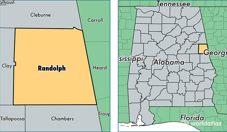
Randolph County is a county equivalent area found in Alabama, USA. The county government of Randolph is found in the county seat of Wedowee.
With a total 1,512.9 sq. km of land and water area, Randolph County, Alabama is the 1807th largest county equivalent area in the United States. Home to 22,539 people, Randolph County has a total 11869 households earning 35213 on average per year.
Randolph County, Alabama - Quick Facts
| FIPS Code | 1111 |
| Area Codes | 256,334 |
| Time Zone | CST |
| Major Cities | Roanoke (population: 11,086), Wedowee (population: 4,320), Woodland (population: 3,891), Wadley (population: 2,562), Graham (population: 651) |
| Land Area | 8,702 sq miles |
| Water Area | 581 sq miles |
| Household Income | $35,213 |
| Housing Units | 11,869 |
| Median Home Value | $88,600 |
| High School Grads | 73% of population |
| Holders of Bachelors Degrees | 11% of population |
| Retail Spending | $7,209 per capita |
| Food & Accomodation Sales | $9,241 per capita |
This page was last updated on June 30, 2016.