Where is Monroe County, Alabama?
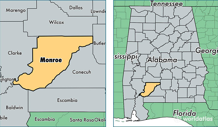
Monroe County is a county equivalent area found in Alabama, USA. The county government of Monroe is found in the county seat of Monroeville.
With a total 2,679.13 sq. km of land and water area, Monroe County, Alabama is the 733rd largest county equivalent area in the United States. Home to 21,947 people, Monroe County has a total 11209 households earning 29203 on average per year.
Monroe County, Alabama - Quick Facts
| FIPS Code | 1099 |
| Area Codes | 251,334 |
| Time Zone | CST |
| Major Cities | Monroeville (population: 10,521), Frisco City (population: 4,947), Uriah (population: 1,738), Peterman (population: 1,231), Beatrice (population: 987), Lower Peach Tree (population: 925), Franklin (population: 687), Vredenburgh (population: 581), Excel (population: 571), Perdue Hill (population: 96) |
| Land Area | 8,474 sq miles |
| Water Area | 1,026 sq miles |
| Household Income | $29,203 |
| Housing Units | 11,209 |
| Median Home Value | $76,900 |
| High School Grads | 76% of population |
| Holders of Bachelors Degrees | 11% of population |
| Retail Spending | $9,342 per capita |
| Food & Accomodation Sales | $14,796 per capita |
This page was last updated on June 30, 2016.