Where is Limestone County, Alabama?
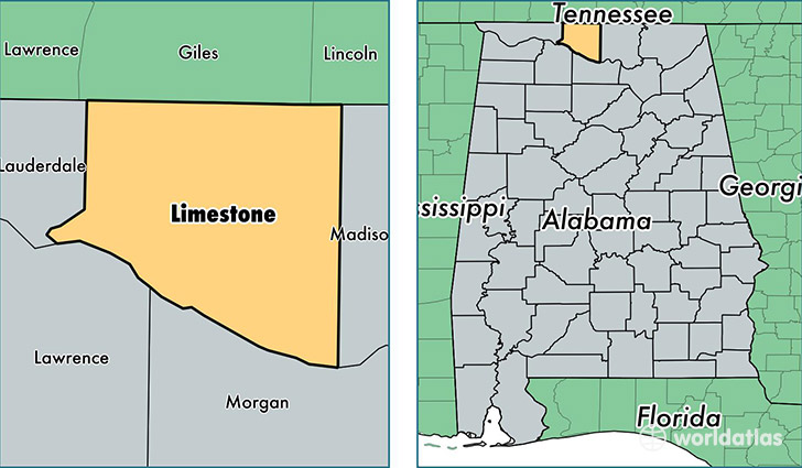
Limestone County is a county equivalent area found in Alabama, USA. The county government of Limestone is found in the county seat of Athens.
With a total 1,572.61 sq. km of land and water area, Limestone County, Alabama is the 1716th largest county equivalent area in the United States. Home to 90,787 people, Limestone County has a total 35196 households earning 48619 on average per year.
Limestone County, Alabama - Quick Facts
| FIPS Code | 1083 |
| Area Codes | 256 |
| Time Zone | CST |
| Major Cities | Athens (population: 56,386), Madison (population: 9,509), Elkmont (population: 9,389), Ardmore (population: 5,383), Tanner (population: 2,231), Capshaw (population: 2,092), Lester (population: 1,090), Belle Mina (population: 72), Mooresville (population: 72) |
| Land Area | 35,053 sq miles |
| Water Area | 560 sq miles |
| Household Income | $48,619 |
| Housing Units | 35,196 |
| Median Home Value | $134,500 |
| High School Grads | 82% of population |
| Holders of Bachelors Degrees | 23% of population |
| Retail Spending | $9,785 per capita |
| Food & Accomodation Sales | $68,140 per capita |
| Universities and Colleges | John C Calhoun State Community College |
This page was last updated on June 30, 2016.