Where is Escambia County, Alabama?
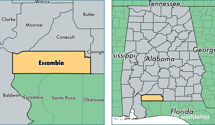
Escambia County is a county equivalent area found in Alabama, USA. The county government of Escambia is found in the county seat of Brewton.
With a total 2,468.62 sq. km of land and water area, Escambia County, Alabama is the 832nd largest county equivalent area in the United States. Home to 37,733 people, Escambia County has a total 16320 households earning 30687 on average per year.
Escambia County, Alabama - Quick Facts
| FIPS Code | 1053 |
| Area Codes | 251 |
| Time Zone | CST |
| Major Cities | Atmore (population: 18,207), Brewton (population: 16,063), Flomaton (population: 3,545), Huxford (population: 65) |
| Land Area | 14,569 sq miles |
| Water Area | 945 sq miles |
| Household Income | $30,687 |
| Housing Units | 16,320 |
| Median Home Value | $84,100 |
| High School Grads | 76% of population |
| Holders of Bachelors Degrees | 12% of population |
| Retail Spending | $10,089 per capita |
| Food & Accomodation Sales | $31,909 per capita |
This page was last updated on June 30, 2016.