Where is Covington County, Alabama?
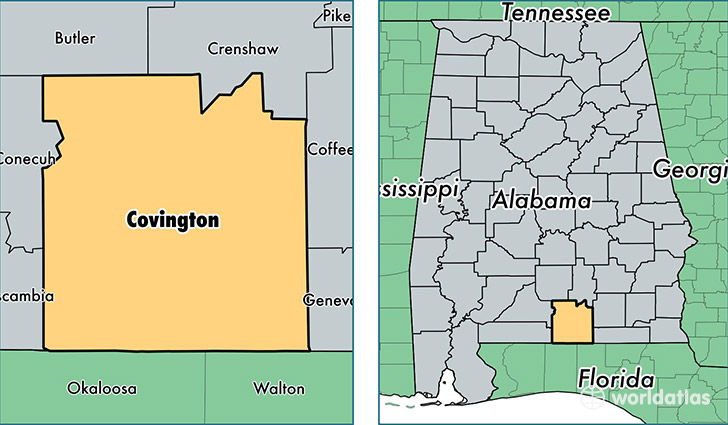
Covington County is a county equivalent area found in Alabama, USA. The county government of Covington is found in the county seat of Andalusia.
With a total 2,703.4 sq. km of land and water area, Covington County, Alabama is the 721st largest county equivalent area in the United States. Home to 37,914 people, Covington County has a total 18674 households earning 35869 on average per year.
Covington County, Alabama - Quick Facts
| FIPS Code | 1039 |
| Area Codes | 334 |
| Time Zone | CST |
| Major Cities | Andalusia (population: 20,007), Opp (population: 10,114), Florala (population: 3,572), Red Level (population: 2,938), Dozier (population: 1,760), Wing (population: 536), Lockhart (population: 467), Gantt (population: 57), River Falls (population: 51) |
| Land Area | 14,639 sq miles |
| Water Area | 1,031 sq miles |
| Household Income | $35,869 |
| Housing Units | 18,674 |
| Median Home Value | $88,800 |
| High School Grads | 78% of population |
| Holders of Bachelors Degrees | 14% of population |
| Retail Spending | $11,544 per capita |
| Food & Accomodation Sales | $30,271 per capita |
This page was last updated on June 30, 2016.