Where is Calhoun County, Alabama?
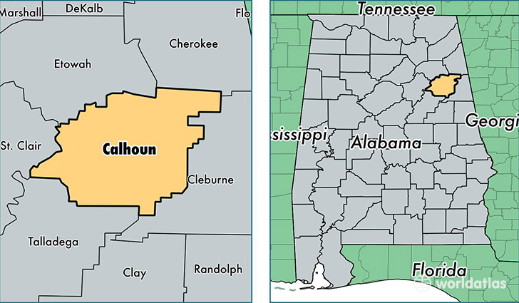
Calhoun County is a county equivalent area found in Alabama, USA. The county government of Calhoun is found in the county seat of Anniston.
With a total 1,585.81 sq. km of land and water area, Calhoun County, Alabama is the 1703rd largest county equivalent area in the United States. Home to 115,916 people, Calhoun County has a total 53053 households earning 39962 on average per year.
Calhoun County, Alabama - Quick Facts
| FIPS Code | 1015 |
| Area Codes | 256 |
| Time Zone | CST |
| Major Cities | Anniston (population: 51,458), Jacksonville (population: 20,833), Oxford (population: 18,618), Piedmont (population: 13,293), Ohatchee (population: 5,958), Weaver (population: 5,361), Alexandria (population: 4,553), Eastaboga (population: 4,206), Wellington (population: 2,616) |
| Land Area | 44,755 sq miles |
| Water Area | 606 sq miles |
| Household Income | $39,962 |
| Housing Units | 53,053 |
| Median Home Value | $100,600 |
| High School Grads | 79% of population |
| Holders of Bachelors Degrees | 16% of population |
| Retail Spending | $13,678 per capita |
| Food & Accomodation Sales | $186,533 per capita |
This page was last updated on June 30, 2016.