Where is Blount County, Alabama?
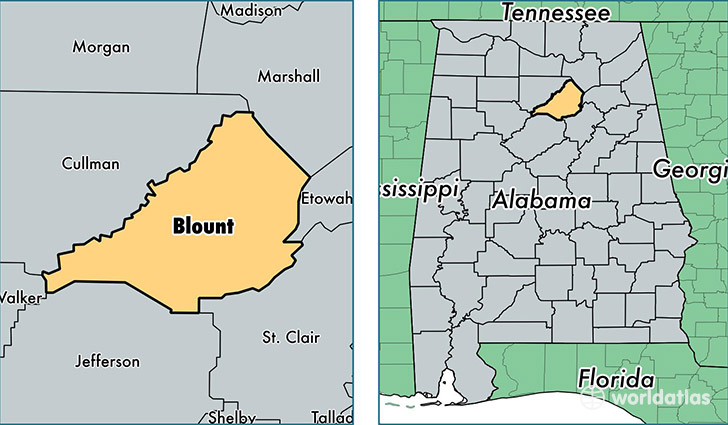
Blount County is a county equivalent area found in Alabama, USA. The county government of Blount is found in the county seat of Oneonta.
With a total 1,685.12 sq. km of land and water area, Blount County, Alabama is the 1575th largest county equivalent area in the United States. Home to 57,719 people, Blount County has a total 23677 households earning 44145 on average per year.
Blount County, Alabama - Quick Facts
| FIPS Code | 1009 |
| Area Codes | 205 |
| Time Zone | CST |
| Major Cities | Oneonta (population: 15,708), Hayden (population: 8,887), Blountsville (population: 8,002), Cleveland (population: 4,031), Remlap (population: 3,942), Trafford (population: 3,006), Locust Fork (population: 1,763), Allgood (population: 125) |
| Land Area | 22,285 sq miles |
| Water Area | 645 sq miles |
| Household Income | $44,145 |
| Housing Units | 23,677 |
| Median Home Value | $117,100 |
| High School Grads | 77% of population |
| Holders of Bachelors Degrees | 12% of population |
| Retail Spending | $5,622 per capita |
| Food & Accomodation Sales | $20,941 per capita |
This page was last updated on June 30, 2016.