Where is Autauga County, Alabama?
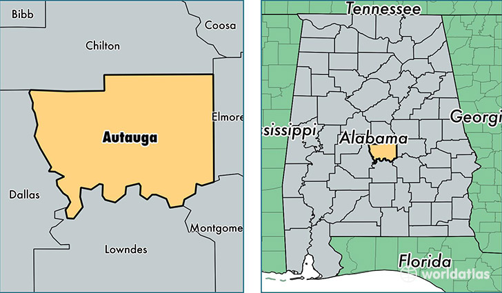
Autauga County is a county equivalent area found in Alabama, USA. The county government of Autauga is found in the county seat of Prattville.
With a total 1,565.36 sq. km of land and water area, Autauga County, Alabama is the 1726th largest county equivalent area in the United States. Home to 55,395 people, Autauga County has a total 22540 households earning 53682 on average per year.
Autauga County, Alabama - Quick Facts
| FIPS Code | 1001 |
| Area Codes | 334,205 |
| Time Zone | CST |
| Major Cities | Prattville (population: 46,836), Marbury (population: 2,338), Autaugaville (population: 2,009), Billingsley (population: 1,331) |
| Land Area | 21,388 sq miles |
| Water Area | 595 sq miles |
| Household Income | $53,682 |
| Housing Units | 22,540 |
| Median Home Value | $136,200 |
| High School Grads | 86% of population |
| Holders of Bachelors Degrees | 21% of population |
| Retail Spending | $12,003 per capita |
| Food & Accomodation Sales | $88,157 per capita |
This page was last updated on June 30, 2016.