Where is Kenai Peninsula Borough, Alaska?
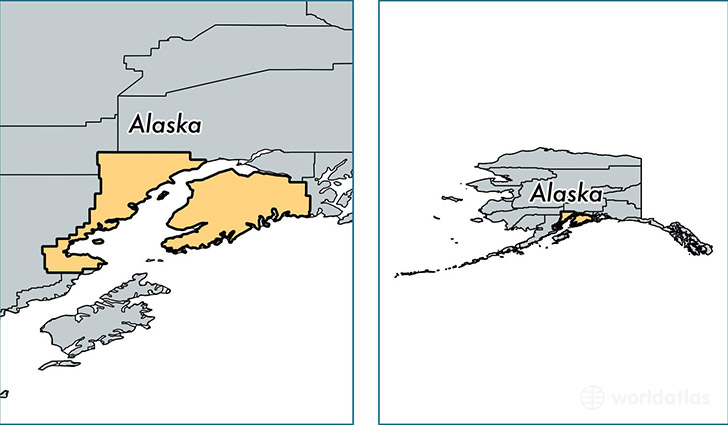
Kenai Peninsula Borough is a county equivalent area found in Alaska, USA. The borough government of Kenai Peninsula is found in the borough seat of Soldotna.
With a total 64,108.15 sq. km of land and water area, Kenai Peninsula Borough, Alaska is the 10th largest county equivalent area in the United States. Home to 57,477 people, Kenai Peninsula Borough has a total 30580 households earning 61793 on average per year.
Kenai Peninsula Borough, Alaska offers the following attractions to visitors: Iditarod NHT, Kenai Fjords NP, Lake Clark National Park & Preserve
Kenai Peninsula Borough, Alaska - Quick Facts
| FIPS Code | 2122 |
| Area Codes | 907 |
| Time Zone | PST-1 |
| Major Cities | Kenai (population: 15,531), Soldotna (population: 14,575), Homer (population: 10,106), Seward (population: 5,065), Sterling (population: 3,804), Anchor Point (population: 2,577), Kasilof (population: 2,225), Ninilchik (population: 1,161), Nikiski (population: 1,041), Seldovia (population: 425) |
| Land Area | 22,192 sq miles |
| Water Area | 16,075 sq miles |
| Household Income | $61,793 |
| Housing Units | 30,580 |
| Median Home Value | $204,900 |
| High School Grads | 93% of population |
| Holders of Bachelors Degrees | 24% of population |
| Retail Spending | $12,527 per capita |
| Food & Accomodation Sales | $131,217 per capita |
This page was last updated on June 30, 2016.