Where is Zacapu, Mexico?
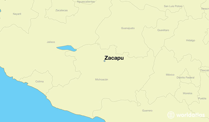
Zacapu is a city found in Michoacan, Mexico. It is located 19.81 latitude and -101.79 longitude and it is situated at elevation 1992 meters above sea level.
Zacapu has a population of 50,112 making it the 10th biggest city in Michoacan. It operates on the CDT time zone, which means that it follows the same time zone as Morelia.
Quick facts
| Country | Mexico |
| Division | Michoacan |
| Population | 50,112 |
| Elevation | 1,992 m over sea level |
| Time Zone | CDT |
| Longitude | -101.790410 |
| Latitude | 19.813890 |
This page was last updated on October 2, 2015.