Where is Zhigulevsk, Russia?
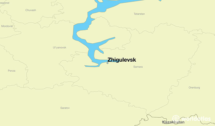
Zhigulevsk is a city found in Samara Oblast, Russia. It is located 53.40 latitude and 49.50 longitude and it is situated at elevation 75 meters above sea level.
Zhigulevsk has a population of 57,094 making it the 6th biggest city in Samara Oblast. It operates on the EEST time zone, which means that it follows the same time zone as Samara.
Quick facts
| Country | Russia |
| Administrative region | Samara Oblast |
| Population | 57,094 |
| Elevation | 75 m over sea level |
| Time Zone | EEST |
| Longitude | 49.495280 |
| Latitude | 53.399720 |
This page was last updated on October 2, 2015.