Where is Khanty-Mansiysk, Russia?
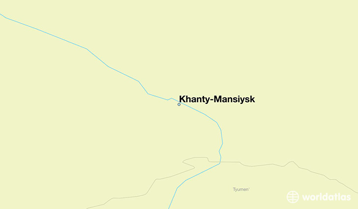
Khanty-Mansiysk is a city found in Khanty-Mansi Autonomous Okrug, Russia. It is located 61.00 latitude and 69.00 longitude and it is situated at elevation 50 meters above sea level.
Khanty-Mansiysk has a population of 67,800 making it the 4th biggest city in Khanty-Mansi Autonomous Okrug. It operates on the LMT time zone, which means that it follows the same time zone as Surgut.
Quick facts
| Country | Russia |
| Autonomous district | Khanty-Mansi Autonomous Okrug |
| Population | 67,800 |
| Elevation | 50 m over sea level |
| Time Zone | LMT |
| Longitude | 69.001940 |
| Latitude | 61.004170 |
This page was last updated on October 2, 2015.