Autonomous district of Khanty-Mansi Autonomous Okrug, Russia
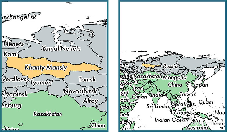
Khanty-Mansi Autonomous Okrug is a autonomous district found in the nation of Russia. Home to 1,432,817 people, it is the 36th largest division in Russia in terms of population.
Khanty-Mansi Autonomous Okrug gained its current status as a autonomous district in the year 1930. The government of Khanty-Mansi Autonomous Okrug is lead by Natalya Komarovaand is based in the autonomous district capital of Khanty-Mansiysk (Population: 67,800).
The most populous cities in Khanty-Mansi Autonomous Okrug are: Surgut (Population: 300,367), Nizhnevartovsk (Population: 244,937), Nefteyugansk (Population: 112,632), Khanty-Mansiysk (Population: 67,800), Kogalym (Population: 57,800).
Khanty-Mansi Autonomous Okrug Autonomous district - Quick Facts
| Country | Russia |
| Region Type | Autonomous district |
| ISO Code | RU_KHM |
| Time Zone | +05 |
| Year of Establishment | 1930 |
| Capital | Khanty-Mansiysk (Population: 67,800) |
| Head of Government | Natalya Komarova |
| Total Population | 1,432,817 |
| Total Area | 523,100 sq km (201,970 sq miles) |
| Population Density | 2.7 sq km (7.1 sq miles) |