Where is Lisburn, Northern Ireland?
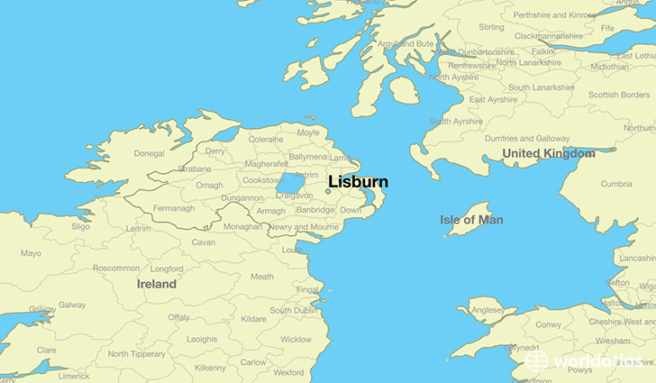
Lisburn is a city found in Northern Ireland, The United Kingdom. It is located 54.52 latitude and -6.04 longitude and it is situated at elevation 53 meters above sea level.
Lisburn has a population of 77,506 making it the 4th biggest city in Northern Ireland. It operates on the BDST time zone, which means that it follows the same time zone as Belfast.
Quick facts
| Country | The United Kingdom |
| Province | Northern Ireland |
| Population | 77,506 |
| Elevation | 53 m over sea level |
| Time Zone | BDST |
| Longitude | -6.035270 |
| Latitude | 54.523370 |
This page was last updated on October 2, 2015.