Where is Le Havre, France?
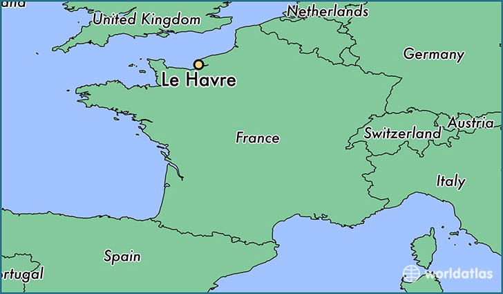
Le Havre is a city found in Upper Normandy, France. It is located 49.49 latitude and 0.11 longitude and it is situated at elevation 12 meters above sea level.
Le Havre has a population of 185,972 making it the biggest city in Upper Normandy. It operates on the CEST time zone.
Quick facts
| Country | France |
| Metropolitan region | Upper Normandy |
| Population | 185,972 |
| Elevation | 12 m over sea level |
| Time Zone | CEST |
| Longitude | 0.107670 |
| Latitude | 49.493800 |
This page was last updated on October 2, 2015.