Where is les Corts, Spain?
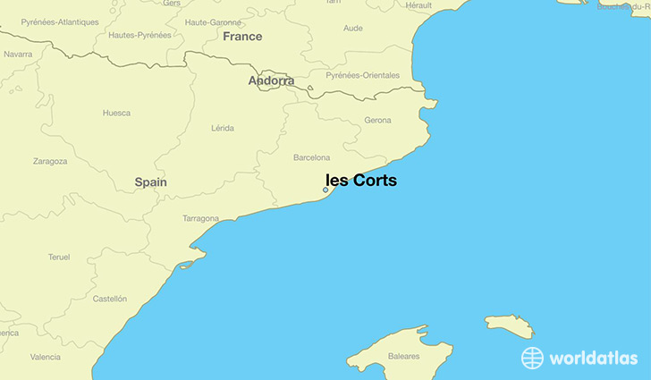
les Corts is a city found in Catalonia, Spain. It is located 41.39 latitude and 2.13 longitude and it is situated at elevation 73 meters above sea level.
les Corts has a population of 82,588 making it the 22nd biggest city in Catalonia. It operates on the CEST time zone, which means that it follows the same time zone as Barcelona.
Quick facts
| Country | Spain |
| Governorate | Catalonia |
| Population | 82,588 |
| Elevation | 73 m over sea level |
| Time Zone | CEST |
| Longitude | 2.130070 |
| Latitude | 41.387120 |
This page was last updated on October 2, 2015.