Where is Santa Lucia, Spain?
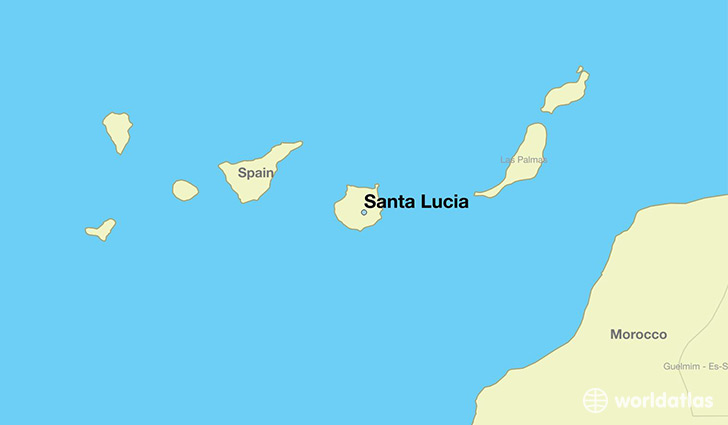
Santa Lucia is a city found in Canary Islands, Spain. It is located 27.91 latitude and -15.54 longitude and it is situated at elevation 699 meters above sea level.
Santa Lucia has a population of 63,637 making it the 6th biggest city in Canary Islands. It operates on the CANT time zone, which means that it follows the same time zone as Las Palmas de Gran Canaria.
Quick facts
| Country | Spain |
| State | Canary Islands |
| Population | 63,637 |
| Elevation | 699 m over sea level |
| Time Zone | CANT |
| Longitude | -15.540710 |
| Latitude | 27.911740 |
This page was last updated on October 15, 2015.