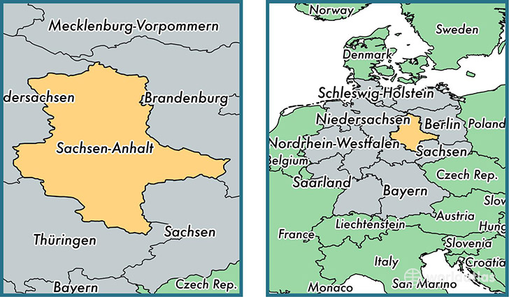
State of Saxony-Anhalt , Germany
Saxony-Anhalt is a state found in the nation of Germany. Home to 2,287,040 people, it is the 11th largest division in Germany in terms of population.
Saxony-Anhalt gained its current status as a state in the year 1990. The government of Saxony-Anhalt is lead by Reiner Haseloff and is based in the state capital of Magdeburg (Population: 229,826).
The most populous cities in Saxony-Anhalt are: Halle Neustadt (Population: 240,000), Halle (Saale) (Population: 234,107), Magdeburg (Population: 229,826), Neue Neustadt (Population: 226,851), Dessau (Population: 77,315).
Saxony-Anhalt State - Quick Facts
| Country | Germany |
| Region Type | State |
| ISO Code | DE_ST |
| Time Zone | CEST |
| Year of Establishment | 1990 |
| Capital | Magdeburg (Population: 229,826) |
| Head of Government | Reiner Haseloff |
| Total Population | 2,287,040 |
| Total Area | 20,445 sq km (7,894 sq miles) |
| Population Density | 111.9 sq km (289.7 sq miles) |
This page was last updated on July 24, 2015.