State of Saxony, Germany
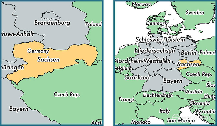
Saxony is a state found in the nation of Germany. Home to 4,056,799 people, it is the 6th largest division in Germany in terms of population.
Saxony gained its current status as a state in the year 1990. The government of Saxony is lead by Stanislaw Tillich and is based in the state capital of Dresden (Population: 486,854).
The most populous cities in Saxony are: Leipzig (Population: 504,971), Dresden (Population: 486,854), Chemnitz (Population: 247,220), Zwickau (Population: 98,796), Plauen (Population: 66,412).
Saxony State - Quick Facts
| Country | Germany |
| Region Type | State |
| ISO Code | DE_SN |
| Time Zone | CEST |
| Year of Establishment | 1990 |
| Capital | Dresden (Population: 486,854) |
| Head of Government | Stanislaw Tillich |
| Total Population | 4,056,799 |
| Total Area | 18,413 sq km (7,109 sq miles) |
| Population Density | 220.3 sq km (570.6 sq miles) |
This page was last updated on July 24, 2015.