Where is Oldenburg, Germany?
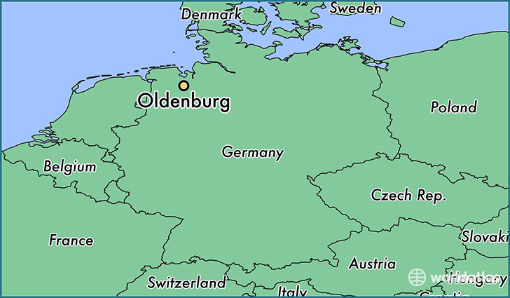
Oldenburg is a city found in Lower Saxony, Germany. It is located 53.14 latitude and 8.21 longitude and it is situated at elevation 10 meters above sea level.
Oldenburg has a population of 159,218 making it the 4th biggest city in Lower Saxony. It operates on the CEMT time zone, which means that it follows the same time zone as Hannover.
Quick facts
| Country | Germany |
| State | Lower Saxony |
| Population | 159,218 |
| Elevation | 10 m over sea level |
| Time Zone | CEMT |
| Longitude | 8.214670 |
| Latitude | 53.141180 |
This page was last updated on October 15, 2015.