Where is Kladno, The Czech Republic?
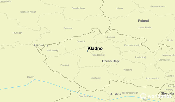
Kladno is a city found in Central Bohemia, The Czech Republic. It is located 50.15 latitude and 14.10 longitude and it is situated at elevation 390 meters above sea level.
Kladno has a population of 70,003 making it the biggest city in Central Bohemia. It operates on the CEST time zone.
Quick facts
| Country | The Czech Republic |
| State | Central Bohemia |
| Population | 70,003 |
| Elevation | 390 m over sea level |
| Time Zone | CEST |
| Longitude | 14.102850 |
| Latitude | 50.147340 |
This page was last updated on October 15, 2015.