Where is Leuven, Belgium?
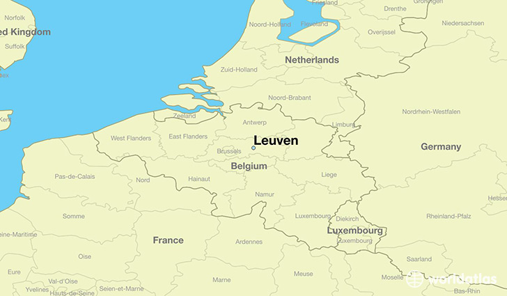
Leuven is a city found in Flanders, Belgium. It is located 50.88 latitude and 4.70 longitude and it is situated at elevation 28 meters above sea level.
Leuven has a population of 92,892 making it the 4th biggest city in Flanders. It operates on the CEST time zone, which means that it follows the same time zone as Antwerpen.
Quick facts
| Country | Belgium |
| State | Flanders |
| Population | 92,892 |
| Elevation | 28 m over sea level |
| Time Zone | CEST |
| Longitude | 4.700930 |
| Latitude | 50.879590 |