Autonomous region of Inner Mongolia, China
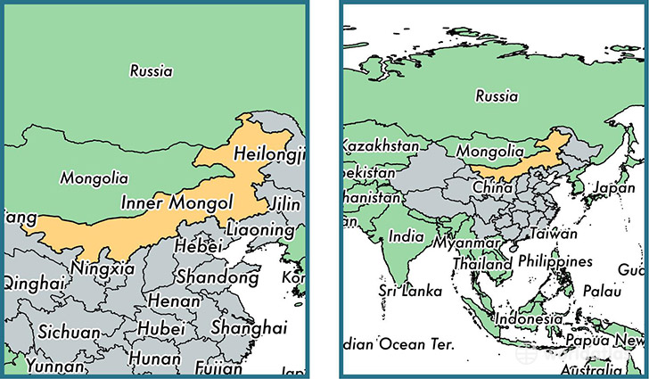
Inner Mongolia is a autonomous region found in the nation of China. Home to 24,706,321 people, it is the 23rd largest division in China in terms of population.
Inner Mongolia gained its current status as a autonomous region in the year 1949. The government of Inner Mongolia is lead by Bagatur and is based in the autonomous region capital of Hohhot (Population: 774,477).
The most populous cities in Inner Mongolia are: Ordos (Population: 1,940,653), Baotou (Population: 1,301,768), Hohhot (Population: 774,477), Chifeng (Population: 346,654), Tongliao (Population: 261,110).
Inner Mongolia Autonomous region - Quick Facts
| Country | China |
| Region Type | Autonomous region |
| ISO Code | CN_15 |
| Time Zone | HKT |
| Year of Establishment | 1949 |
| Capital | Hohhot (Population: 774,477) |
| Head of Government | Bagatur |
| Total Population | 24,706,321 |
| Total Area | 1,181,104 sq km (456,027 sq miles) |
| Population Density | 20.9 sq km (54.2 sq miles) |
This page was last updated on July 24, 2015.