Where is the Prime Meridian?
A prime meridian is a geographic longitude which runs vertically along a sphere dividing it into two hemispheres. Any prime meridian is geographically and mathematically defined and is located at the 0-degree longitude and therefore is used as the base point for other longitudes which are measured in the degrees to the west or east of the prime meridian they are located. Prime meridians are established on most of the major celestial bodies of the Solar System including the planets as well as some large moons.
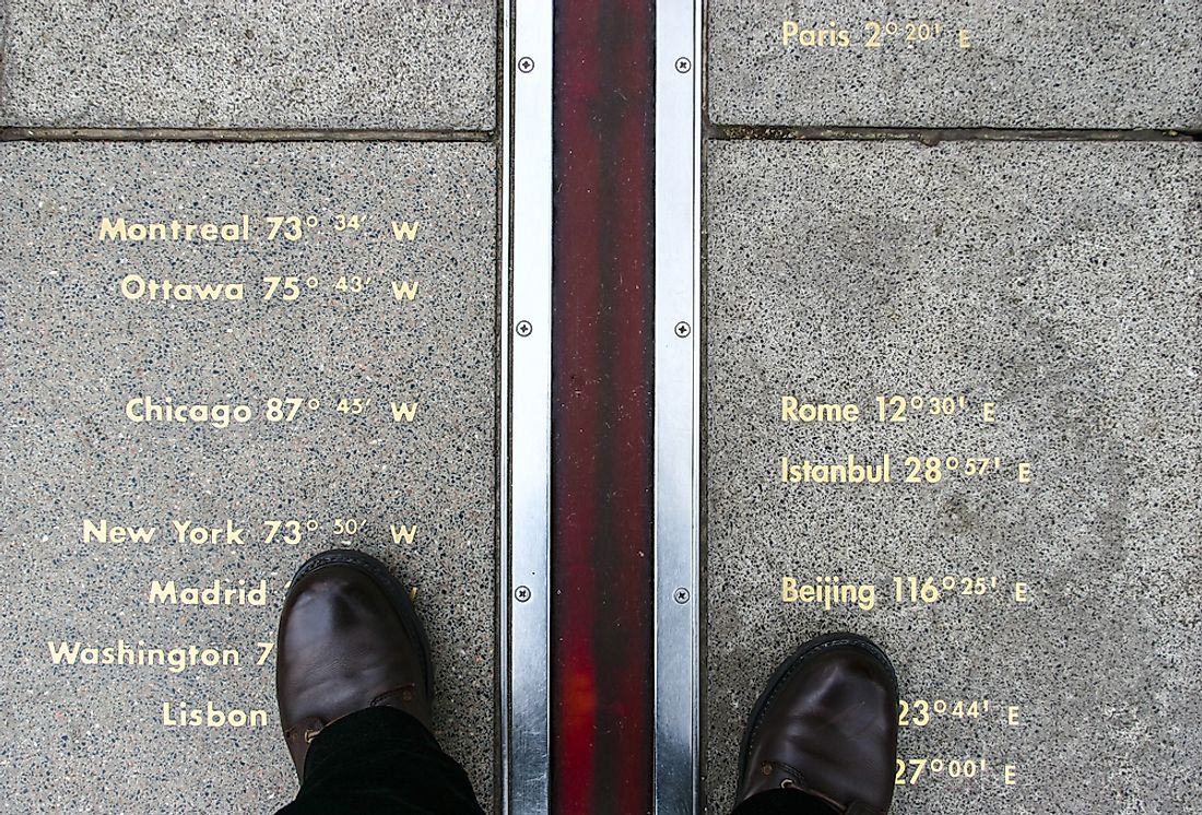
The Greenwich Prime Meridian
The Greenwich Prime Meridian was established at Royal Observatory in London and it is the universal prime meridian. The Greenwich Meridian was established in 1851 by 19th-century British mathematician and astronomer, Sir Biddell Airy. Before it was mapped as Greenwich Prime Meridians, countries all over the world used their prime meridian which passed through their respective boundaries and usually cut across such nation’s capital city. One of such countries was Great Britain which established its distinct meridian which passed through the Royal Observatory situated at Greenwich.
In several instances, the Greenwich meridian was moved few meters eastwards as improvements in technology allowed the use of better instruments. Increased globalization experienced in the early 20th century attributed to the improved sea and air travel made it necessary for the countries around the world to have a common prime meridian which could be used as the universal reference point for longitude to be used for trans-continental and trans-oceanic travel by ship and airplane captains. The Greenwich Prime Meridian was adopted as the universal prime meridian after leaders and scientists from all over the world met for the International Meridian Conference in 1884 which was took place in Washington D.C., USA. The Greenwich Prime Meridian was used as the universal base point in the calculation of longitude until the IERS Reference Meridian was established in 1983 through the Global Positioning System (GPS) showed that the Greenwich Meridian was not precisely located along the 0-degree, 0-minute and 0-second longitude. It was established so that it lies 5.3 seconds to the west of the actual 0-degree, 0-minute, and 0-second longitude. The Greenwich Prime Meridian starts from the North Pole in the Arctic Ocean and runs southwards to the South Pole in Antarctica. Along its stretch, the Greenwich Prime Meridian passes through nine countries which are Spain, UK, France, Mali, Togo, Burkina Faso, Algeria, Ghana, and Queen Maud Land, a Norwegian territory in Antarctica.
The International Meridian Conference
On October 1st, 1884, Washington D.C. was the host of the International Meridian Conference whose aim was to establish a standard prime meridian to unify the local times used in railway timetables. The countries which participated in the conference included the Netherlands, Switzerland, Spain, Denmark, Germany, France, Great Britain, Hawaii, Costa Rica, Chile, Japan, Liberia, Russia, the United States, Salvador, Paraguay, San Domingo, Venezuela, Brazil, Guatemala, Mexico and the Ottoman Empire. The conference was a continuation of the 1888 International Geodesic Conference held in Rome. Among the resolutions of the International Meridian Conference was the adoption of the Greenwich Meridian as the prime meridian for the 0-degree longitude as well as the establishing of the Universal Time.
The Bering Strait
The Bering Strait located between the Pacific Ocean and the Arctic Ocean represents the border between Russia and the United States. The easternmost points of Asia and Russia are located at the Bering Strait as well as the westernmost point of North America and the United States. The Bering Strait was used as a prime meridian, and it is the current location of the International Date Line which runs through the Diomede Islands of the Bering Strait.
The Pulkovo Meridian
The Pulkovo Meridian was used as the base longitude of the Russian Empire before the adoption of the universal Greenwich Meridian in 1884. The Pulkovo Meridian is located along the 30 degrees 19.6 minutes longitude which runs through the Russian Pulkovo Observatory.
The New Naval Observatory Meridian
The New Naval Observatory Meridian runs through the clock room of the Naval Observatory which is situated about 2.3 miles northwest of the White House in Washington D.C. The meridian is found along the 77 degrees 3 minutes 56.7 seconds east longitude.
The Tenerife Meridian
The Tenerife Meridian was used by the early Dutch navigators and cartographers between the early 17th century and the beginning of the 20th century. The Meridian is located along the 16 degrees 38 minutes 22 seconds west longitude.
The IERS Reference Meridian
The IERS Reference Meridian is the current recognized universal prime meridian and also the most accurately defined. The IERS Reference Meridian is an imaginary line that is recognized to lie on the 0-degree, 0-minute and 0-second longitude. The IERS Reference Meridian is used as the arbitrary reference point by the Department of Defense of the US which uses Global Positioning System (GPS). Most countries in the world have adopted an IERS system for their maps which is relative to the tectonic plates on which they lie. Because it is based on tectonic plates which are always in motion, the IERTS Reference Meridian is not fixed on any one point of the globe. For instance, the Royal Observatory which is based on the Eurasian tectonic plate moves about 2.5 cm each year. The IERS Reference Meridian originates from the North Pole in the Arctic Ocean and runs southwards to the South Pole in Antarctica passing through 8 countries which include the Spain, UK, France, Algeria, Mali, Burkina Faso, Togo, and Ghana. The International Earth Rotation and Reference Systems Services is the body mandated in the maintenance of the IERS Reference Meridian.
The International Earth Rotation and Reference Systems Service
The International Earth Rotation and Reference System was adopted in 1987 by the International Union of Geodesy and Geophysics and the International Astronomical Union and was mandated to maintain the global time and reference frame standards using the International Celestial Reference System as well as the Earth Orientation Parameters. The Earth Orientation Parameters are different parameters used to assess irregularities in the earth’s rotation while the International Celestial Reference System is the standard celestial reference system which was adopted by the International Astronomical Union.