The Saint Clair River
5. Description
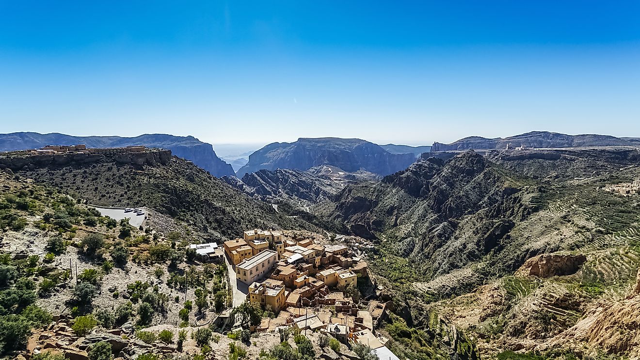
The St. Clair River serves as an outflow for Lake Huron into Lake St. Clair, and as part of the U.S.-Canadian border. The river flows for about 40.5 miles before draining into Lake St. Clair. It also forms a portion of the Great Lakes Waterway, through which the freight ships access to cross between the lower and upper Great Lakes in the United States and Canada. It also serves as an international boundary line between Michigan in the U.S.A. and Ontario in Canada. As it enters Lake St. Clair, the river creates several water channels that turns into a wide delta called the St. Clair Flats. These flats are one of the largest freshwater deltas in the world.
4. Historical Role
The French explorers and fur traders of the 18th Century were the first to ply these river routes to trade with the local natives. The European craze for North American pelts made this occupation a very lucrative endeavor. The river was also used as a timber "highway" for cut logs from Michigan forests that were sent down the river to Detroit. The river was also a conduit for steamboats that plied the many small towns along its banks, bringing commerce and passengers. The most recent era has saw cargo ships transporting massive quantities of grain, copper, iron ore, and steel between cities via the St. Clair River.
3. Modern Significance
Today, as in the past, the St. Clair River is used as a waterway where all kinds of goods are moved to many destinations, as well as between Michigan and Ontario. The lands in the vicinity of the river are mostly agricultural lands, where sugar beets are especially suited to be grown. The river is also the source of drinking water for several major communities along its banks. The state of Michigan also receives much of its water from the river, helping meet about half of its residents' needs. Major industries in the region include salt-processing, power generation plants, paper mills, petroleum refineries, and various chemical manufacturers. The St. Clair River also harbors the densest population of Lake sturgeon among all of the Great Lake region.
2. Habitat and Biodiversity
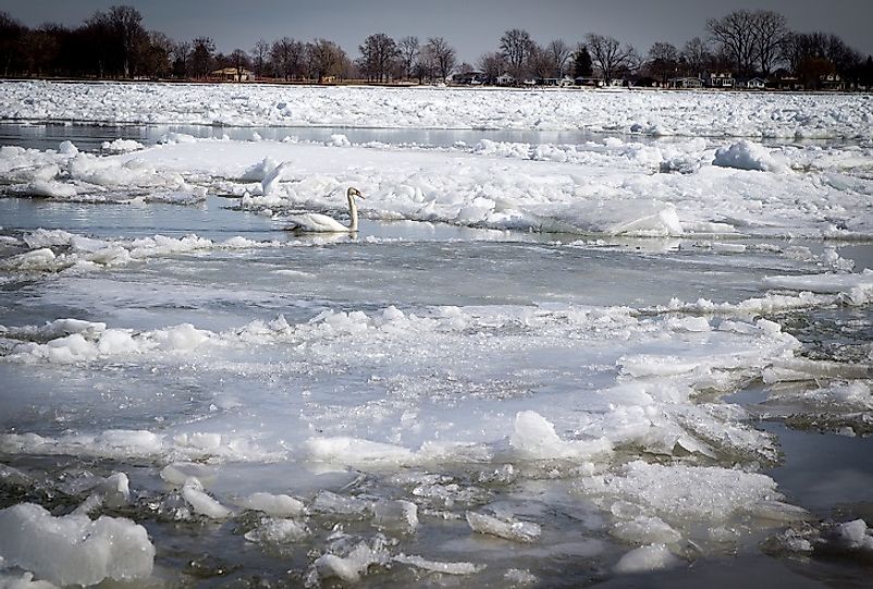
There are several land habitats along the St. Clair River. These biomes range from sedge marshes, wet meadows, and shorelines to ecotones and beaches. They all broadly fall under flats and shorelines. Fauna in these areas are representative of water and land mammals alike. Many species of insects, amphibians, waterfowl, birds, and reptiles make their homes in the area. The transitional and upland zones are subject to flooding on occasion. Deciduous forests dominate the upland regions, with some prairies and oak savannas interspersed among them. The freshwater habitats of the river lend themselves to minnows and large sport fish alike. Many other organisms are also found in the river as well, such as plankton species, bottom-dwelling invertebrates, and aquatic plants.
1. Environmental Threats and Territorial Disputes
There are several communities that source their waters from the St. Clair River. Prior to 1985, the river water had been found to have concerning concentrations of contaminants in the form of heavy metals, contaminated sediments, bacteria, toxic organics, and urban and rural runoffs, as well as sewer overflows. This had put the river in the list of Great Lakes Areas of Concern (AOC). Then, in 1985, the Remedial Action Plan was created according to the Great Lakes Agreement between the United States and Canada. The start of a river-wide cleanup campaign was put into effect in 1987. Another threat was also recognized involving riverbed mining and dredging that lowered the riverbed. In 2007, the Friends of the St. Clair River was founded to protect it and restore its integrity.