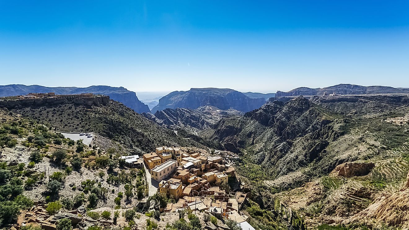
What Is the Source of the Indus River?
The Indus River, locally refereed as the Tibetan, Sindhu, or Mehran, is the longest river in Asia. It is among the longest rivers in the world, with a total length of 2,000 miles from its source to drainage. Its estimated annual flow averages 58 cubic miles, making it the twenty-first largest liver in the world in terms of annual flow. Its total drainage area is approximately 450,000 sq. mi., of which 175,000 sq. mi. rest in the Himalayan ranges, the Karakoram Range, and the Hindu Kush, while the rest lies in the desert plains of Pakistan.
Physical Features
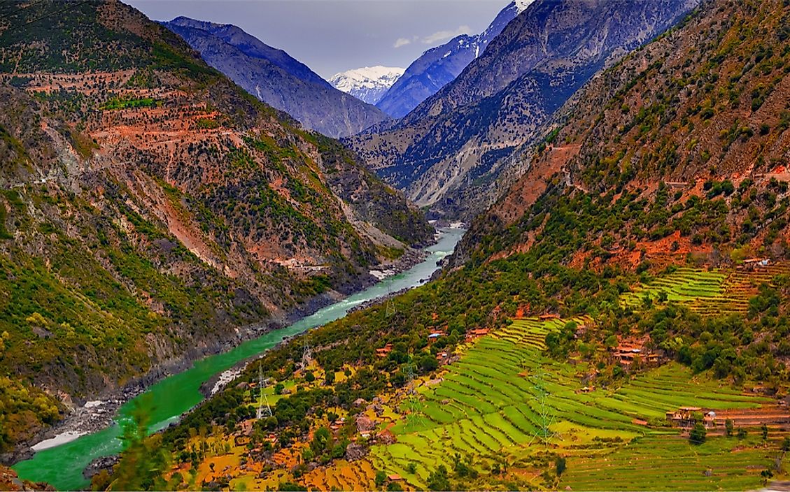
The Indus River rises in the northern highlands of the Kailash Ranges in the Tibetan Autonomous Region. The river then flows northwest to cross India in the state of Jammu and Kashmir . In Kashmir, it is joined by its first tributary, the Zaskar River, and then flows in a southerly direction along the entire length to Pakistan, as the longest river in the country, and then drains into the Arabian Sea near the port city of Karachi in the province of Sindh. The principle tributaries of the Indus River are mainly snow fed, since they originate from the Himalayas. Their flow varies greatly throughout the year, with minimum discharge during occurring during winter. Water levels begin to rise in the spring and early summer, and floods are experienced in the rainy season that occurs between July and September.
Importance
The Indus River plays a crucial economic role in India, China, and Pakistan. It is the sole supplier of water in the Punjab and Sindh plains. As the largest river flowing through Pakistan, it is the backbone of the country’s agricultural economy. Since the early Indus Valley Civilisation, the river has been used for irrigation purposes in the semi-arid regions. Modern irrigation engineering work commenced during the British colonial period when large canal systems were constructed. In modern times, the old canals located in the Sindh and Punjab regions have been upgraded to the world’s greatest system of canal irrigation. In India, several dams and link canals have been built along the Indus River to distribute water in various parts of the country, as well as promote the irrigation of 607,000 hectares of desert land in western Rajasthan.
The Indus River has been used for navigation since the early days of the Indus Valley Civilisation. However, after the development of the railway system, navigation was eliminated along the river, leaving only small fishing crafts that ply the lower Indus in Sindh. The southeast region of the Karachi delta is an important ecological region endowed with diverse marine fish and prawns that provide food and income for local residents. The upper valley of the Indus is used for floating timber down from the foothills of the Kashmir forests.
Threats
Like many rivers across the globe, the Indus delta has experienced a drastic decline in the flow of water following the aggressive encroachment and construction of dams and canals along the river. Habitat destruction through the clearing of mangrove forests in favor of agriculture and pollution also pose major threats to the natural flow variability of the Indus River.