What is Geomatics?
By definition, geomatics refers to the branch of learning that is involved in the process of collecting and storing geographical data, statistics, or spatially referenced information and then processing and sending this data. It is made up of all the products, tools, and services used for the collection, analysis, and utilization of geographical information.
Geomatics should not be confused with geoinformatics. Geomatics is also referred to geospatial science as well as survey engineering. Another distinctive factor is that it includes the discipline geomatics engineering as well as geospatial technology and geospatial engineering.
Etymology
The name was first introduced in the year 1981 by a surveyor of French-Canadian descent known as Michael Paradis. At the time, he claimed that the world's demand for geographic material would reach an odd surge. In order to deal with this need, he proposed the addition of a new discipline that would combine the traditional methods of land surveillance with the modern day tools and practices.
When geographical data is collected, it is shared through networks called geospatial networks, such as the Open Geospatial Consortium. Due to the great improvements in technology, the discipline has advanced significantly since the 1990's. This increased visibility can be especially credited to the massive leaps made in the fields of computer hardware and science with the inclusion of software engineering.
It is important to mention a related sub-branch called hydrogeomatics which is involved in the surveying activities that are carried out close to water. Previously, the term used was hydrography.
Science
Geospatial science is a field that encompasses several fields like cartography and surveying among others. In the definition of geomatics, there is a mention of spatially referenced data. Spatial science is usually involved with measuring, managing, analyzing, and displaying spatial data concerning the earth and its features.
Today, the field has become more popular as perceived by a general interest of study in the field. There are several universities in the US such as Texas A&M that offer the undergraduate course . This university has its own spatial sciences lab. The University of Southern California is also recognized in the field when they began placing more emphasis on its spatial science division.
Engineering
All of the previously mentioned engineering fields that are involved with geomatics are part of a fast growing discipline of engineering that is focused on spatial data. The location of such data is the major component used to combine an extensive range of data to be examined and envisioned spatially.
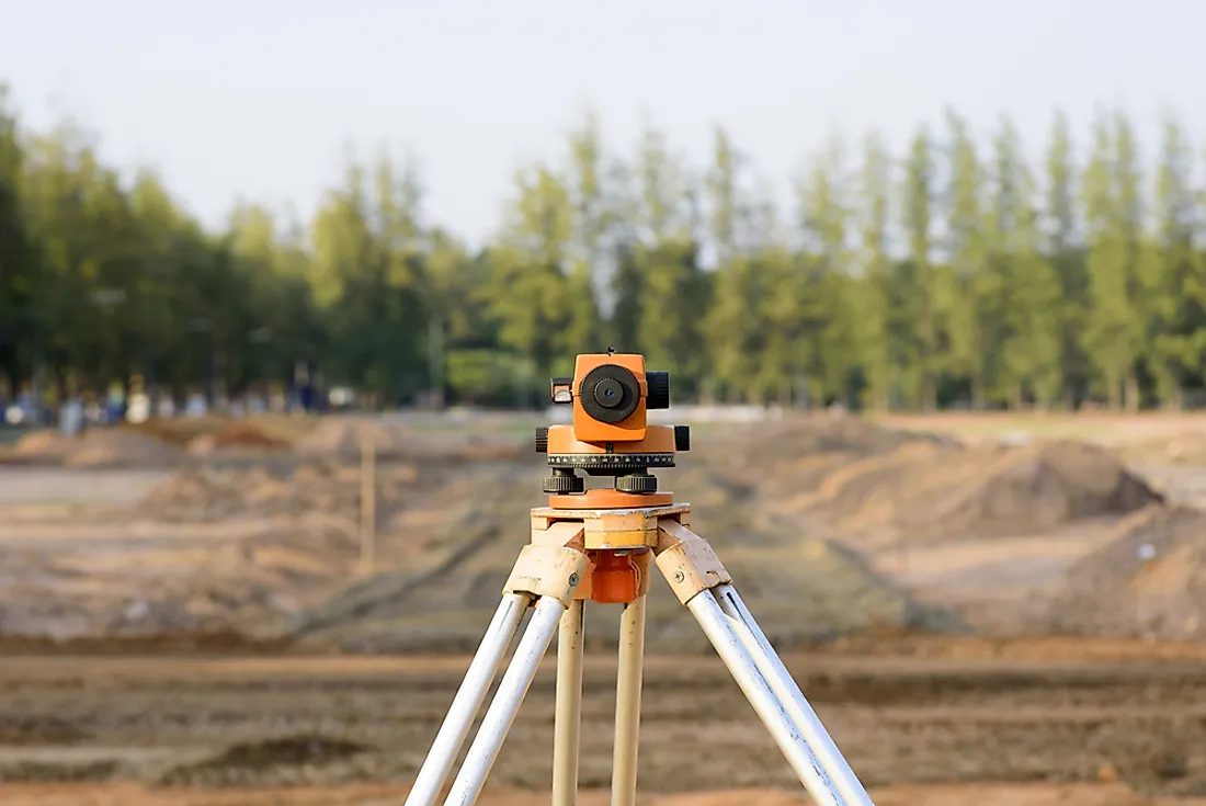
Geomatics engineers play a pivotal role in the society. To make their service provision to the society even better, they employ an extensive range of technologically innovative instruments, for example, Global Positioning Systems equipment, digital airborne imagery (such as drones), computer-based Geographic Information Systems, among many other systems. All these cutting-edge tools assist the engineers to collect all the necessary data to solve problems accurately.