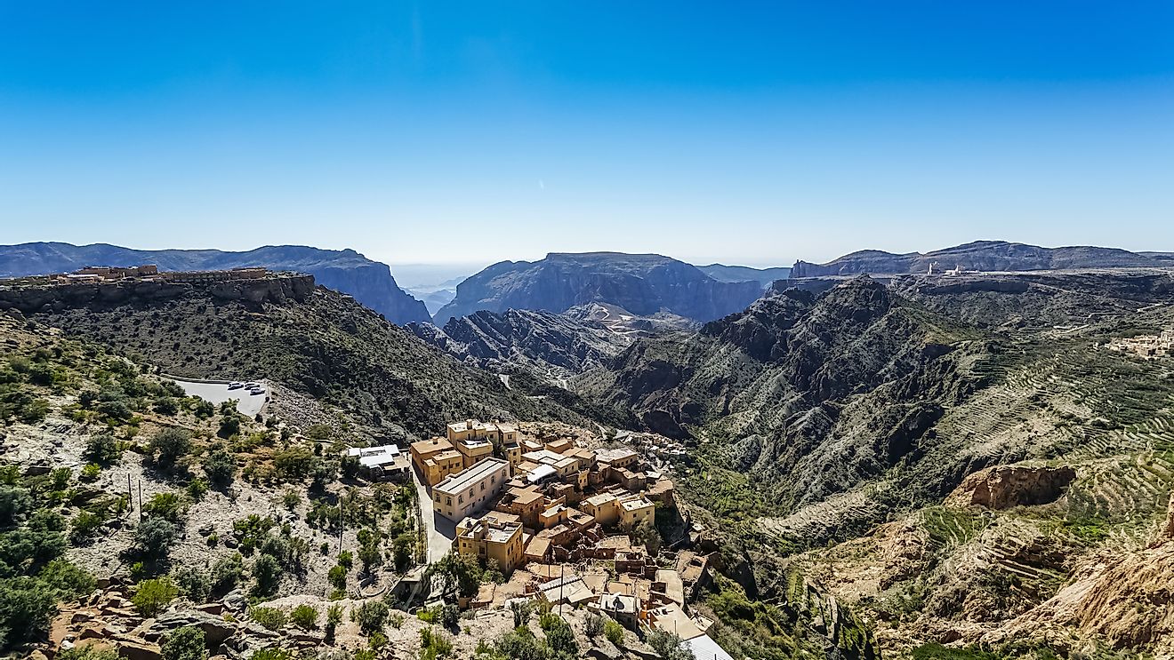
The Most Mountainous States
The US is bordered to the north by Canada and Mexico to the South. With 50 states of varied sizes, US is considered the largest nation in America. The eastern side of US has a broad coastal plain while the Appalachian Mountain separates the Great Lakes from the Eastern Seaboard. The US has five great lakes located in the north central while the Great Plains are in the West of River Mississippi. Alaska is particularly prominent with its highest Mountain. Mount McKinley stands at a height of 20,320 feet (6,194 meters). However, Colorado has the highest altitude compared to other states. Here are some of the states with the highest mean elevations in the US.
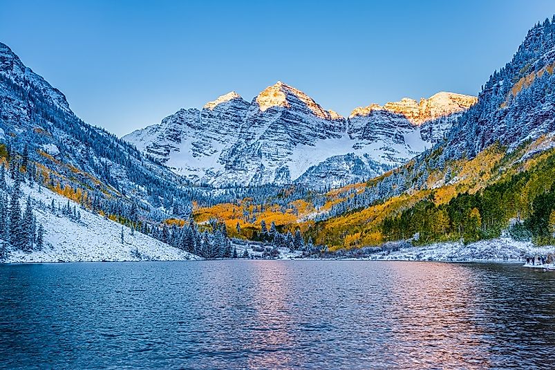
Colorado The U.S. State With The Highest Mean Elevation
Colorado is known for its diverse geography ranging from arid plains, alpine mountains, and deserts. Colorado deserts have sandstone, deep canyons, massive sand dunes and granite rocks. Approximately only half of the state of Colorado is on a flat rolling ground, while sections of the Great Colorado plains within Nebraska has an elevation ranging from 3,350 feet (1,020 meters) to 7,500 feet (2,290 meters). Mount Elbert Summit's elevation in Lake County is the highest point in Colorado at 14,440 feet (4,401 meters) while the lowest point is 3,317 feet (1,011 meters) in Yuma County where the Arikaree River flows out into the Cheyenne County. The mean elevation for Colorado is 6,800 feet (2,073 meters) making Colorado the only state lying entirely above 1,000 meters in elevation
Wyoming
Wyoming is located in the mountain region of Western US and the least populous of the 50 states in the US. Around two-thirds of the western side of Wyoming is within the mountain ranges of Rocky Mountains. The Great Plains and the Rocky Mountains meet in Wyoming. Wyoming state elevation varies from Gannett Peak at 13,804 feet (4,207 meters) to Belle Fourche at 3,125 feet (952 meters). Belle Fourche in South Dakota is the lowest Elevation at 3,101 feet (945 meters) while Wyoming's mean elevation is at 6,700 feet (2,042 meters).
Utah
Utah was the 45th state to be admitted to the US in 1896 and the 13th largest state. Utah is on the western side of US and has a population of 3 million people. Utah has three distinct geological regions namely Great Basin on the west side of the state, the Wasatch Range running from the center of the state and Colorado Plateau. On the Northern Section of the state is the Uinta mountains with Kings Peak as the highest summit at 13,528 feet (4,123 meters). Beaver Dam Wash in the far Southwestern side of Utah is the lowest elevation at 2,000 feet (610 meters). The mean elevation of Utah stands at 6,100 feet (1,860 meters).
New Mexico
New Mexico States lies on an area of 121,412 square miles (314, 460 square kilometers) with Oklahoma in the East and Texas on the south. New Mexico landscape ranges from high snow capped peaks to the vast desert. Despite the Wilderness, New Mexico is covered with a heavy forest in some parts, especially towards the north. New Mexico's mean elevation is averaged at 5,700 feet (1,740 meters) with Wheeler Peak being the highest elevation at 13,161 feet (4,011 meters) while the lowest elevation at 2,842 feet (866 meters) is found at Red Bluff Reservoir.
The U.S.A.: A Land of Many Mountains
The US has more than 200 prominent peaks spread across its 50 states. Most of these peaks or summits are located in Alaska. Some of these peaks include Denali Peak in Alaska Range, Mount Marcus Baker in Chugach Mountain, and Mount Elbert in the Sawatch Range among other prominent peaks.
US States By Mean Elevation
| Rank | State | Mean elevation (in feet, in meter) |
|---|---|---|
| 1 | Colorado | 6,800 ft, 2070 m |
| 2 | Wyoming | 6,700 ft, 2040 m |
| 3 | Utah | 6,100 ft,1860 m |
| 4 | New Mexico | 5,700 ft, 1740 m |
| 5 | Nevada | 5,500 ft, 1680 m |
| 6 | Idaho | 5,000 ft, 1520 m |
| 7 | Arizona | 4,100 ft, 1250 m |
| 8 | Montana | 3,400 ft, 1040 m |
| 9 | Oregon | 3,300 ft, 1010 m |
| 10 | Hawaii | 3,030 ft, 920 m |