The Provinces of South Africa
South Africa is the southernmost country of Africa and covers an area of 471,445 square miles. South Africa is divided into nine administrative regions known as provinces, each having its provincial government. The majority of the provinces were established when the country gained independence in 1994. The provinces range in area and population with the Northern Cape being the largest in area but smallest in population while Gauteng being the smallest in area but the largest in population.
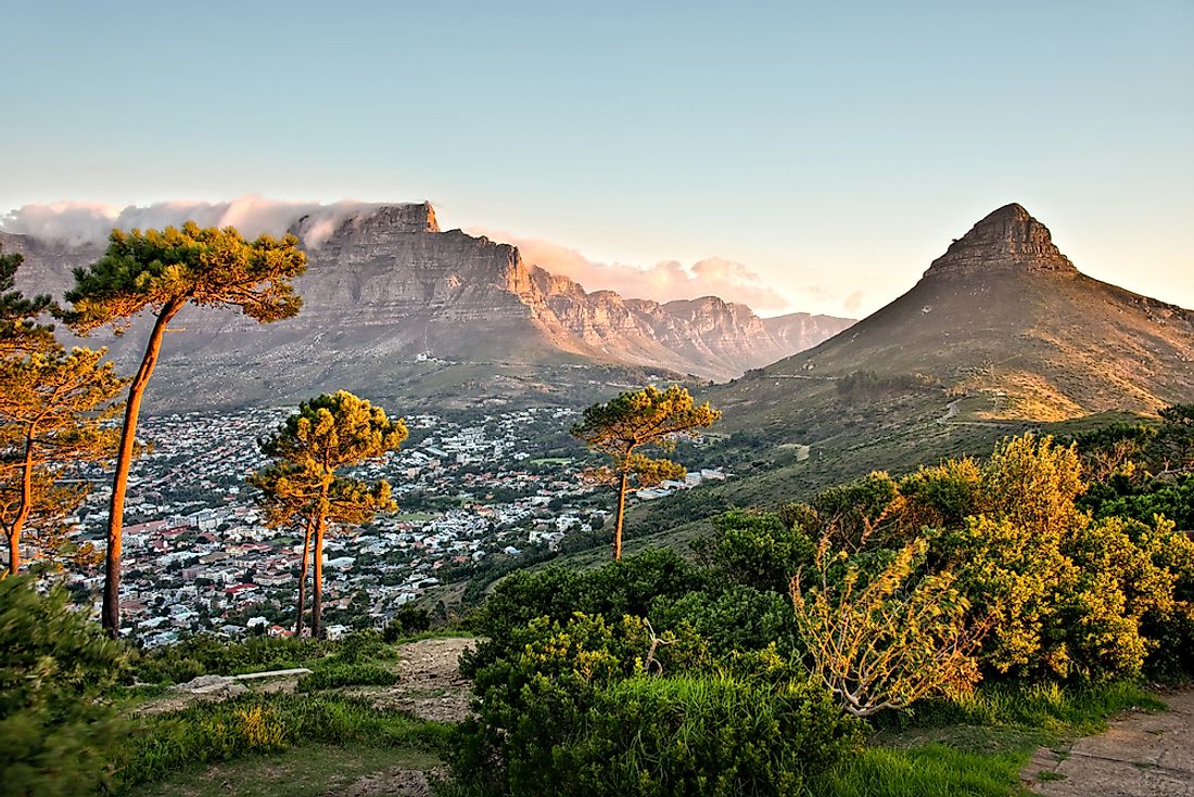
9. Western Cape
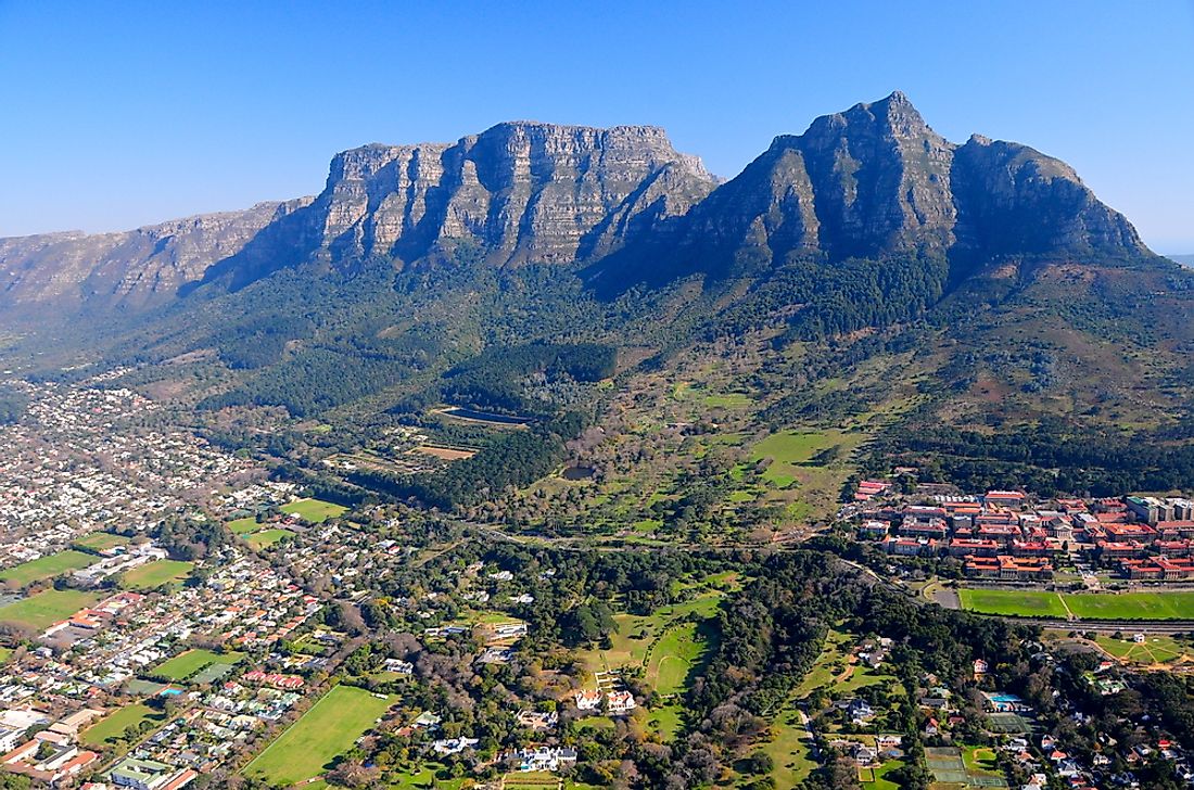
Western Cape is a province located on the south-western edge of South Africa and is also the southernmost part of Africa. The Western Cape is the fourth largest province in the country based on area, with the province covering an area of 49,986 square miles. The province has a population of over 6.2 million people making the Western Cape the fourth most populous province in the country with about two-thirds of the population residing in the province’s largest city, Cape Town, which is also the provincial capital.
8. Northern Cape
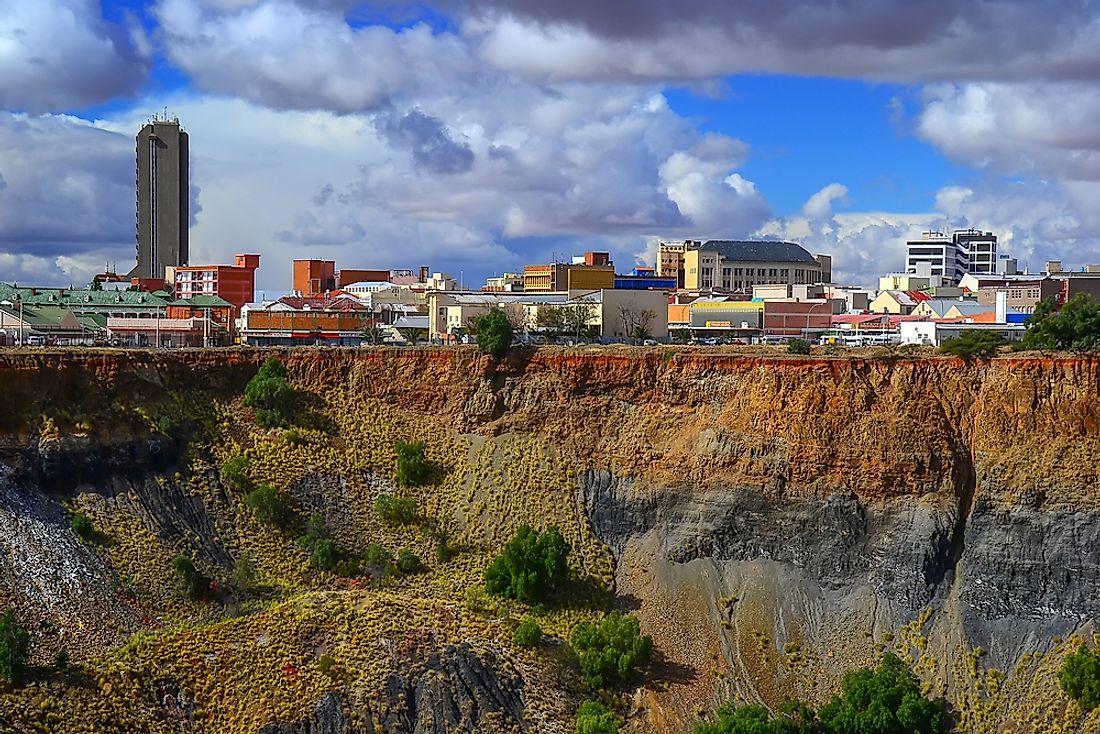
Northern Cape Province is located in the western part of South Africa and borders the North West, Western Cape, Eastern Cape and Free State provinces, the Atlantic Ocean, Namibia, and Botswana. Northern Cape is the largest province in South Africa covering a total area of 143,973 square miles. However, its 1.1 million population make the province have the lowest population density with a population density of 8 persons per square mile. Mining and agriculture are the chief economic activities with the two sectors employing about 57% of all employees. The provincial capital of the Northern Cape is Kimberley which is also the largest city in the province with a population of 225,160 residents.
7. North West
North West Province is located in the northern part of the country and borders Gauteng, Limpopo, Free State, and Northern Cape provinces as well as several districts of Botswana. The province covers an area of 40,495 square miles and has a population of over 3.7 million people where Tswana is the dominant language accounting for 63.4% of the total population. Mining is the primary economic driver of the province accounting for half of the province’s GDP. The provincial capital of the North West is Mahikeng while the largest city in the province is Rustenburg which has a population of 104,612 people.
6. Mpumalanga
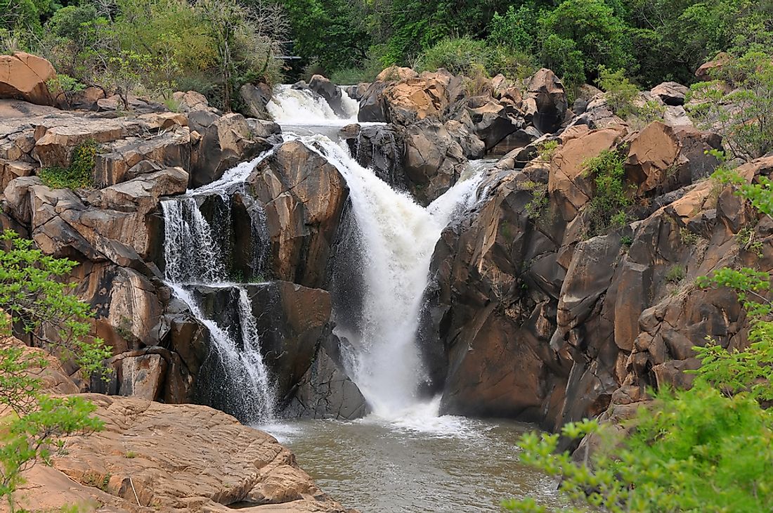
Mpumalanga is a province located in the north-eastern part of South Africa. The name “Mpumalanga” is a Xhosa/ Zulu/ Swazi word which translates to “the place where the sun rises.” The province covers an area of 29,535 square miles and has a population of over 4.2 million people. The province was established on April 27th, 1994 and was formerly known as the Eastern Transvaal but the name was changed on August 24th, 1995 to Mpumalanga. The head of government in the province is the Premier whose office is located in the provincial capital, Nelspruit which is also the largest city in the province. Mining is among the main economic activities in the province with Mpumalanga being the biggest producer of coal in the country accounting for up to 83% of the total national production.
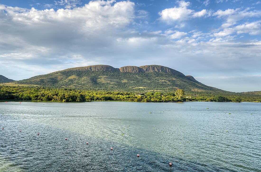
5. Limpopo
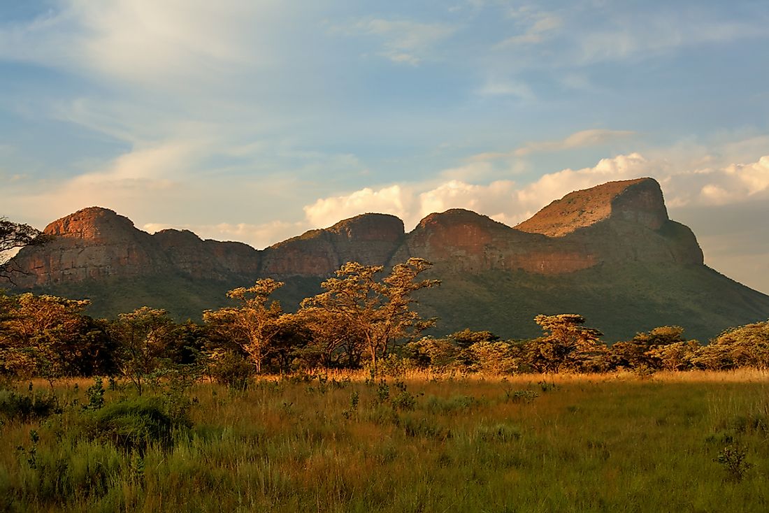
Limpopo is a province located in the north of the country and is named after Limpopo River. The province covers an area of 48,554 square miles making Limpopo the fifth largest province in the area. Limpopo has a population of 5.7 million residents translating to a population density of 110 persons per square mile. The seat of the provincial government of Limpopo is located in Polokwane which is also the largest city in the province with a population of 130,028 residents.
4. KwaZulu-Natal
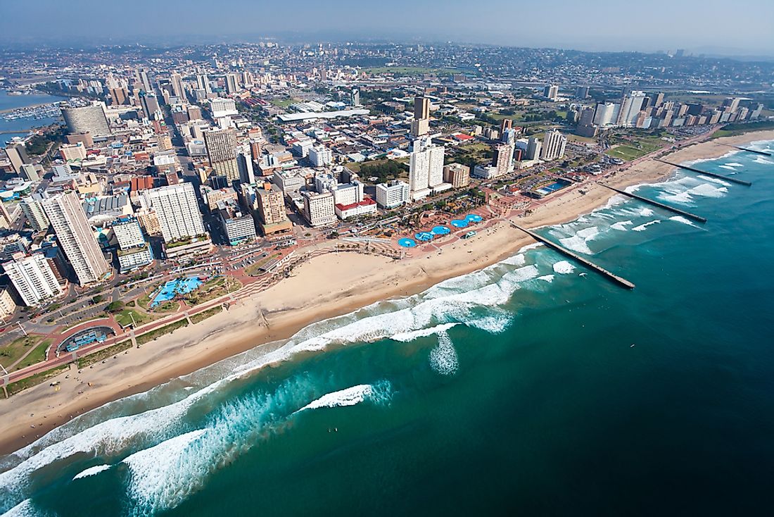
KwaZulu-Natal is a South African province located in the east of the country and borders the Indian Ocean, Swaziland, Lesotho, and Mozambique. The province was formed in 1994 after the merging of the Natal Province and the KwaZulu region. KwaZulu-Natal covers an area of 36,433 square miles and a population of about 11 million residents making it the second most populous province in South Africa. Zulu is the most dominant language with 77.8 % of residents using the language. Pietermaritzburg is the capital of KwaZulu-Natal province and houses the office of the Premier. However, the largest city in the province is Durban.
3. Gauteng
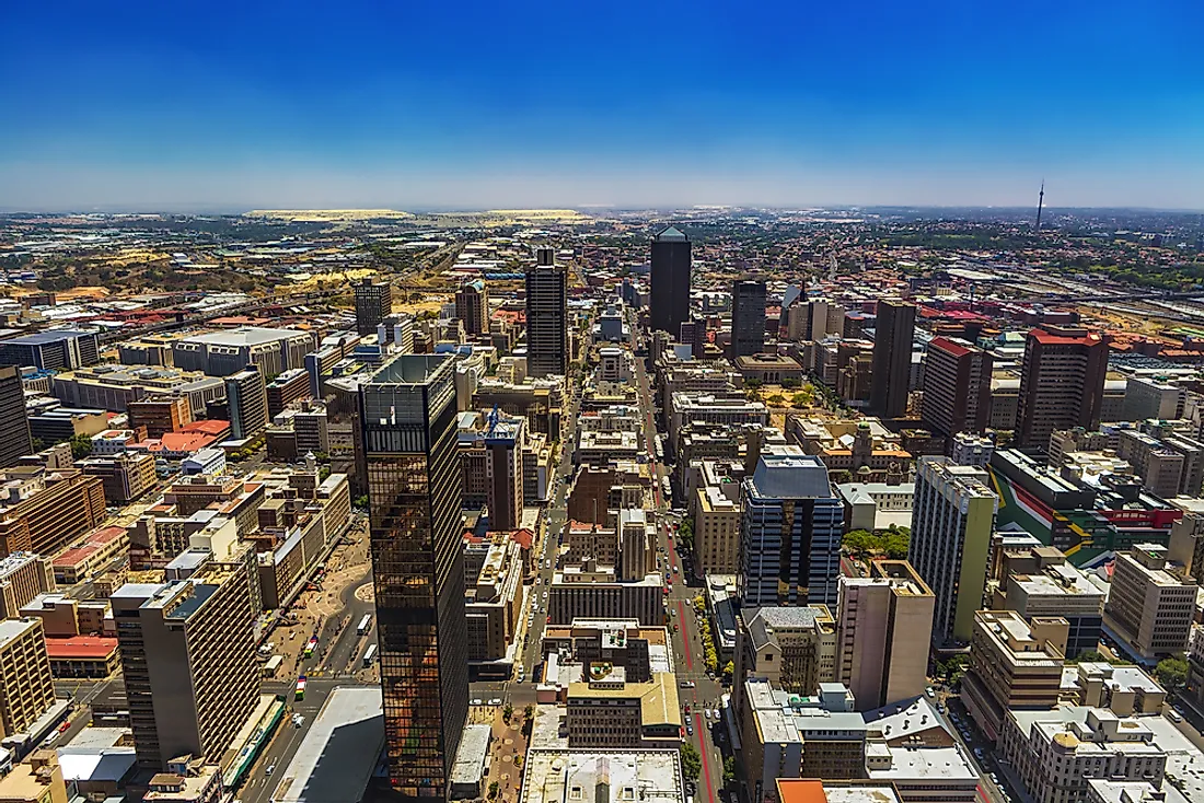
The name “Gauteng” is a Sotho word which loosely translates to “place of gold.” Gauteng is a province located in the center of the country and is home to the nation’s capital, Johannesburg. Gauteng is the smallest province in South Africa covering a total area of 7,018 square miles. However, Gauteng is the most populous province in the country with a population of over 13 million people, translating to a population density of 1,700 persons per square mile, the highest in all provinces. As its name suggests, Gauteng is home to one of largest gold deposits in the world. The capital of the province is Johannesburg which is also the largest city in the province and is also the largest city in the country.
2. Free State
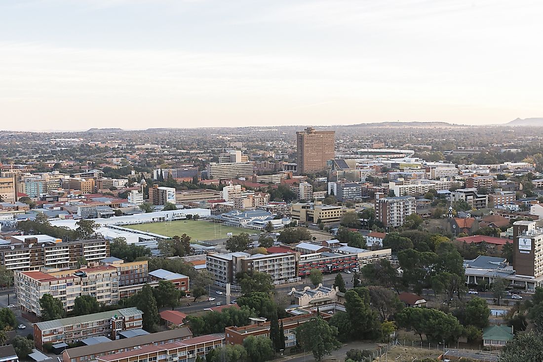
Free State is a South African province located in the center of the country. Free State is the third largest province in the country covering a total area of 50,126 square miles. With a population of about 2.8 million people, Free State is the eighth most populous province in South Africa. The province was established on April 27th, 1994. The Free State Province is among the richest in the South Africa with agriculture and mining being the primary economic drivers. The capital of Free State is Bloemfontein which is also the largest city in the province with a population of 256,185 residents.
1. Eastern Cape
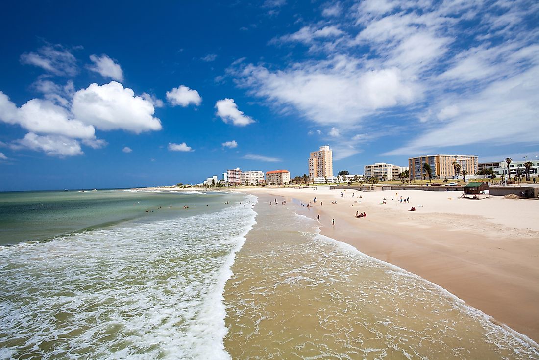
Eastern Cape is a province located in the south-eastern part of South Africa. The province covers an area of 65,238 square miles making Eastern Cape the second largest province in South Africa. Eastern Cape Province was formed on April 27th, 1994 after the merging of the colonial Cape Province, the Ciskei region, and the Transkei region. The province is among the poorest in the country, a fact attributed to the prominence of subsistence agriculture in the province. Bhisho is the capital of the province and houses the office of the province premier. However, Port Elizabeth is the largest city in the province with a population of 312,392 residents.