Major Rivers Of North Korea
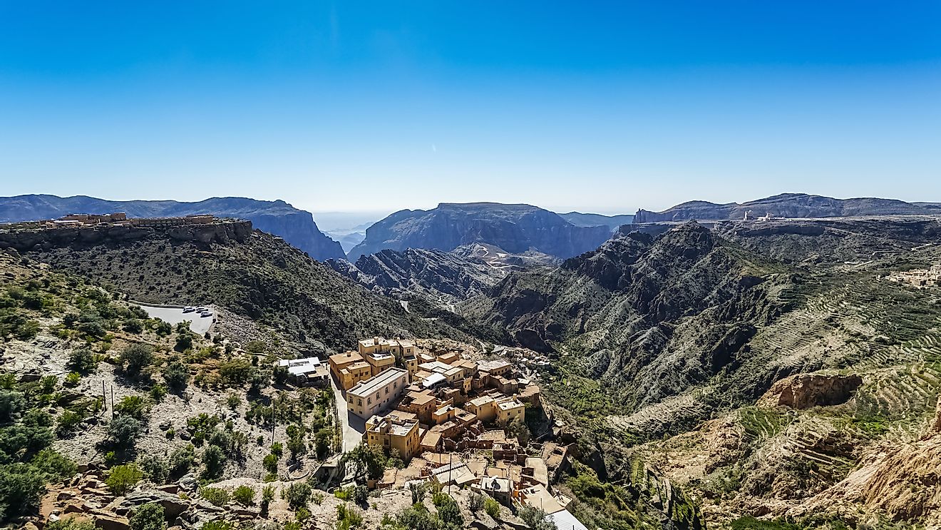
North Korea, officially known as the Democratic People’s Republic of Korea, is situated in the northern part of the Korean Peninsula in East Asia. It bordered by China, Russia, and South Korea, the latter also being known as the Republic of Korea. North Korea covers an area of 46,541 square miles and has an estimated population of 24.9 million. The country has great scenery with mountains, plains and a great continental and oceanic climate. The country has four distinct seasons’ summer, winter, autumn and spring with the most precipitation occurring from June to September.
The Five Largest Rivers in North Korea
Yalu
The Yalu River, also known as the Amnok River, is located on the border between North Korea and China. It originates from Mount Paektu 8,200 feet above sea level and flows south into the Korean Bay. It is 491 miles long and more than 200 islands can be found on the river. The river plays a significant role in the economy of North Korea in that it supports the largest hydroelectric dam in Asia, made easy the transportation, as well as provide fish for the locals for subsistence.
Tumen
The Tumen River, also known as the Tuman River, is a river 324 miles long, flowing from Mount Paektu in northeastern region of Asia. It flows through the China-North Korea border, the North Korea- Russia border, and finally drains into the Sea of Japan. Though heavily polluted by industries from both North Korea and China, it still is a major tourist attraction site.
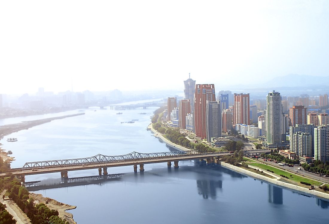
Taedong
The Taedong River is a 273-mile-long river originating from the Rangrim Mountains in the northern regions of North Korea and eventually drains into Korea Bay. It flows through the country’s capital, Pyongyang, and it is the second longest river in the Korean Peninsula and the largest wholly within North Korea. The river is mainly used for transport and is deep enough to be navigated by large ships.
Bukhan
The Bukhan River is a 197-mile-long river flowing through both North Korea and South Korea, with its trail beginning from the Geumgangsan area in North Korea. It flows across the Kangwon Province in North Korea, as well as the Gangwon and Gyeonggi provinces of South Korea. It is a tributary of the Han River, and as such is often referred to as the North Han River. In Yangyeong, it joins the Namhan River to form the Han River.
Other Major Rivers in North Korea
The Imjin River is 158-mile-long river flowing from North Korea to South Korea through three provinces, namely including North Korea's Kangwon and North Hwanghae provinces, and South Korea's Gyeonggi province. It originates from Turyu Mountain and joins Han River, near the Yellow Sea. The Changja River is a river 148 miles long flowing through the North County and Kanggye City in North Korea. The ChongChon River originates from the Rangrim Mountains in North Korea and flows through two provinces Myonhyang-San and South Pyongan. It is 135 miles long and drains into the Yellow Sea.
Major Rivers Of North Korea
| Rank | Major Rivers of North Korea | Total Length |
|---|---|---|
| 1 | Yalu | 491 miles (shared with China) |
| 2 | Tumen | 324 miles (shared with China and Russia) |
| 3 | Taedong | 273 miles |
| 4 | Bukhan | 197 miles (shared with South Korea) |
| 5 | Imjin | 158 miles (shared with South Korea) |
| 6 | Changja | 148 miles |
| 7 | Chongchon | 135 miles |