Major Rivers Of Bangladesh
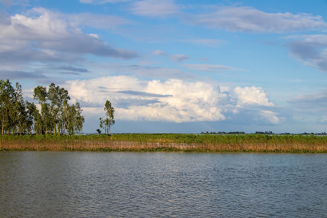
Bangladesh is renowned for its beautiful geomorphic features, including the massive rivers flowing throughout the country. Within the borders of Bangladesh lie the bottom reaches of the Himalayan Ranges' water sources, which serve as the primary sources for rivers that flow through such countries as China, Bhutan, and India and eventually passing into the Bay of Bengal in Bangladesh. The Bangladesh Rivers also drive various economic activities such as agriculture, waterway communication, and energy source among others. Since these rivers play a significant role in the economic growth, it is therefore deemed important to study some of the major rivers in Bangladesh, focusing on the countries they flow through. The following are some of the major rivers in Bangladesh.
Brahmaputra River
The Brahmaputra River is one of the greatest in Asia and the longest to pass through Bangladesh, covering a length of 1,802 miles, and also cutting across India, Bhutan, and China. It starts from Kailash in northern Tibet and ends in the Bay of Bengal. The Assam people see this river as both a blessing and a curse citing the floods it causes on the adjacent land during the monsoon but leaves an immensely fertile ground after the floods. Peasants take advantage of this land not only to plant food for their use but also for export purposes. Despite its significance to the Assamese, the river is also prone to surface water pollution that arises from oil spillages from vehicles and nearby factories.
Ganges River
The River Ganges originates from the Himalaya Mountains and it is accompanied by three distinct courses of flow, namely its upper, middle, and lower courses. Famous for its large water basin, it stretches over a distance of 1,569 miles cutting through India and Bangladesh. Over the years, the surrounding area has always been liable to floods causing numerous effects to the inhabitants living nearby. Despite all these effects that are detrimental to the residents, the floods also bring some benefits of land fertility.
Surma River
The Surma River, also known as the Barak River, originates from the Manipur Mountains in Northern India, and flows through Eastern Bangladesh, covering a distance of 559 miles. It ends in the Kishoreganj District, where it converges with River Kushiyara to form River Meghna. The dynamic meandering of this river faces environmental detriments posed by the surrounding inhabitants, among them being pollution and human settlement on vital catchment area.
Atrai River
The Atrai River hails from West Bengal, and flows through the Dinajpur District before fanning out in Chalaan Beel. It measures a length of 242 miles. Even though it is one of the leading causes of flooding in certain areas, it serves as a perennial fishing ground.
Raidak River
The River Raidak serves as a tributary to the Brahmaputra River, measuring a length of 230 miles. In spite of its small length, it cuts across Bhutan, India, and Bangladesh.
Mahananda River
The river originates in the district of Darjeeling in West Bengal at the heart of the Himalayas. It measures 224 miles flowing through India and Bangladesh.
Teesta River
The Teesta River originates from the Himalayas and streams down forming a boundary between Sikkim and West Bengal. The 192-mile long river passes through India and merges up with river Brahmaputra.
Karnaphuli River
Originating from the Hills of Lushai, the Karnaphuli River stretches itself over a distance of 168 miles. The Kaptai Dam situated on this river facilitates the production of hydroelectric power which serves the locals of Chittagong.
Meghna River
The River Meghna hails from the convergence of the Surma and Kushiyara Rivers. Considered as one of the most important rivers in Bangladesh, it measures 164 miles and fans out of the Bay of Bengal. Its delta constitutes four principal mouths, namely Shahbazpur, Bamni, Hatia, and Tetulia.
Sharing and Protecting Bangladesh's Mighty Waterways
Bangladesh and India share as many as 54 distinct rivers, and the Joint River Commission has been established to manage the tensions between the two countries and their shared waters which started as far back as 1972, shortly after the establishment of Bangladesh as its own sovereign nation. Recently, there has been a dispute over Teesta River. In 1996 there was bilateral signed between the two countries and established a 30-year water sharing on the Ganges. Initially, there was an ad-hoc water sharing agreement made in 1983 between the two countries, wherein India was allocated 39% and Bangladesh was allocated 36% of the water flow. The new arrangement was built on the earlier agreement proposing an equal share between the countries
Major Rivers Of Bangladesh
| Rank | Major Rivers of Bangladesh | Total Length |
|---|---|---|
| 1 | Brahmaputra | 1,802 miles (shared with Bhutan, China, and India) |
| 2 | Ganges | 1,569 miles (shared with India) |
| 3 | Suma | 559 miles |
| 4 | Atrai | 242 miles |
| 5 | Raidak | 230 miles (shared with Bhutan and India) |
| 6 | Mahananda | 224 miles (shared with India) |
| 7 | Teesta | 192 miles (shared with India) |
| 8 | Karnaphuli | 168 miles |
| 9 | Meghna | 164 miles |
| 10 | Bangshi | 148 miles |