Largest Counties In The US By Area
- San Bernardino County in California is the largest county in the United States
- The 10 largest counties are all bigger in size than the state of Vermont.
- Area 51 is found in Lincoln County, Nevada, with a population of just over 5,000 people.
The largest counties in the United States are all situated in the western part of the country. The state of Alaska is exempted seeing as there are no counties in that state, but instead census areas and boroughs. Some counties listed do not have much water surface at all, but are included due to the massive land surface areas that they span, and others include a significant portion of water on their surface. All of the counties listed herein have total surface areas in excess of 10,000 square miles, which is larger than the state of Vermont at 9,620 square miles! The largest county here, San Bernardino, is larger than 9 US states and is close to the same size as the nation of Croatia.
1. San Bernadino, California (20,105 square miles)
San Bernardino County in California is the largest county in the United States at 20,105 square miles, including both land and water surface area. San Bernardino is also the fifth-largest county in terms of population, with 2.18 million people as of 2019. Located in the southern portion of California, the county is part of the Inland Empire region. San Bernardino and the surrounding mountains took their name from the first church in the area. Most of its population lives in the San Bernardino Valley and the Riverside area. The Victor Valley and its surrounding communities also serve as major residential communities. Besides these, there are large areas of wilderness and protected areas in this county, many of which are often threatened by wildfires and droughts.
2. Coconino, Arizona (18,661 square miles)
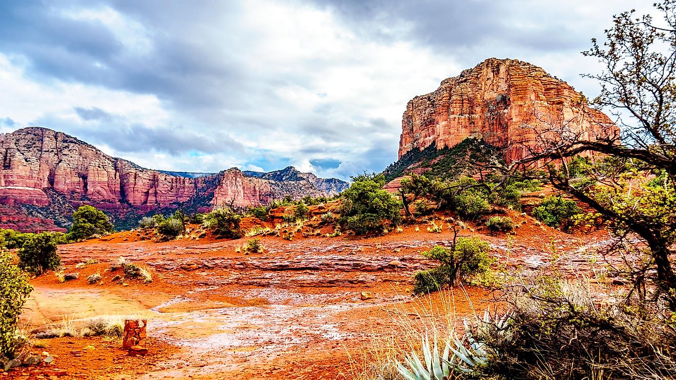
Coconino County in Arizona is the second-largest county in the country, with 18,661 square miles of total surface area. Coconino's name comes from Cohonino, another name for the Havasupai tribe living in the Grand Canyon National Park, itself constituting part of the county. The population of about 143,476 people is composed of mostly Indigenous Americans from the Navajo, Havasupai, Hualapai, Hopi, and other nations there. The white population in Coconino is smaller compared to the Indigenous population, and there are five designated Land Reservations in the county.
3. Nye, Nevada (18,159 square miles)
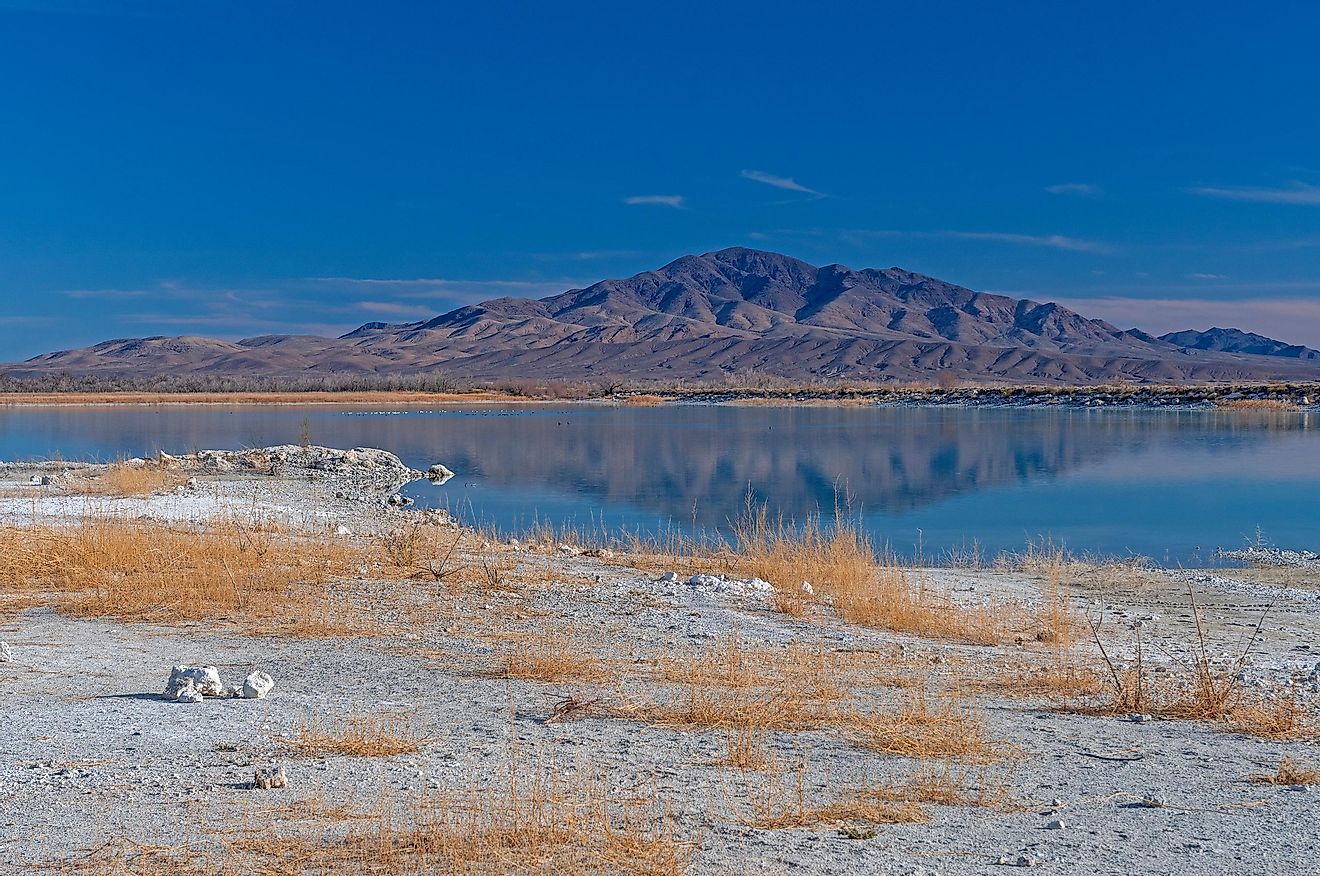
Nye County in Nevada has about 18,159 square miles of land and water area, making it the third-largest county in the US, and the largest in Nevada. The county was named after James Nye, a former Nevada Governor and Senator. Its population was 46,523 people in 2019. Its environmental programs have succeeded in declaring four areas in the county as being designated animal refuges. Much of its early economy depended on gold mines, and today points of interest for tourists there are the Nevada Test Site, the Ash Meadows National Wildlife Refuge, the White River Valley, and the Great Basin Sky Islands.
4. Elko, Nevada (17,203 square miles)
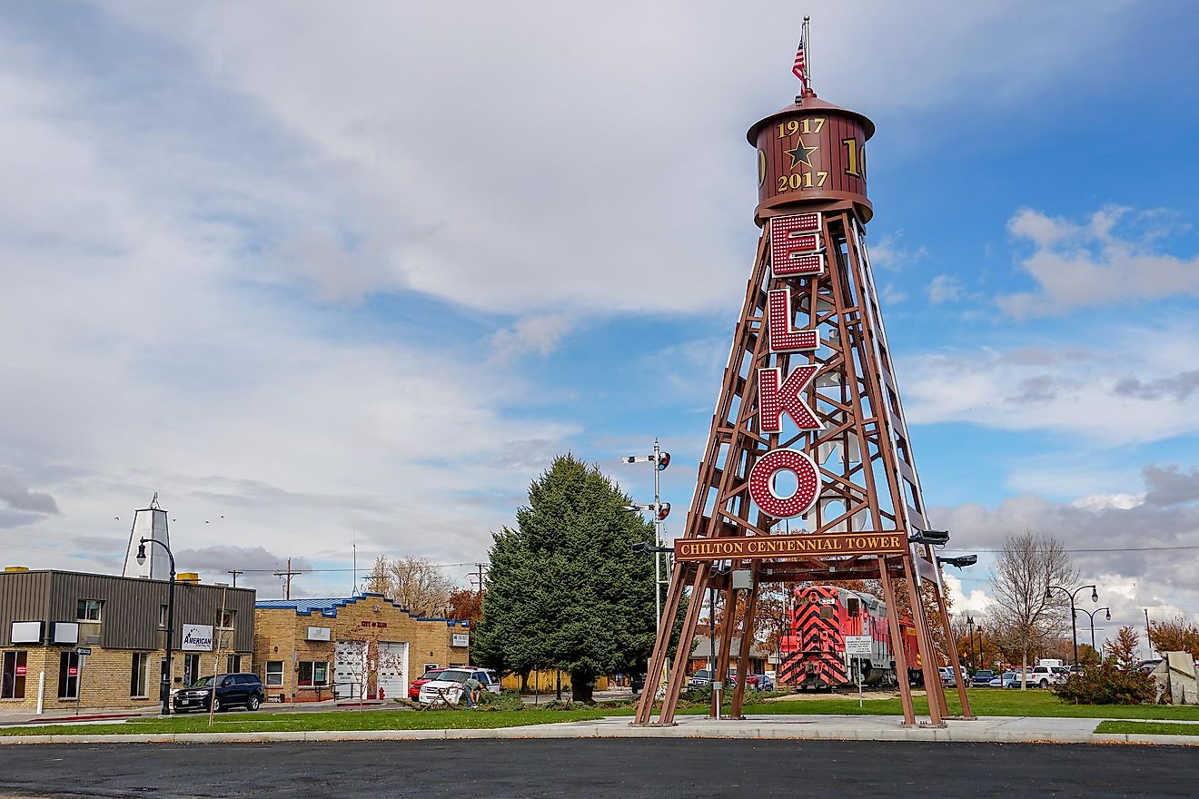
Elko County in Nevada is the fourth-largest county in the United States. It has a total land and water surface area of 17,203 square miles. Named after the county seat of Elko, its population of 52,778 people in 2019 are predominately either European Americans, Hispanics and Latinos, or First Nations Americans, alone or in combination. Other ethnicities living there include Asian Americans, African Americans, and Pacific Islanders. Points of interest in Elko are the Humboldt-Toiyabe National Forest and Ruby Lake National Wildlife Refuge. Most of the county observes Pacific Standard Time, while Mountain Time is observed by some communities in the county, such as Jarbidge, Mountain City, Jackpot, and Owyhee. This is due to economic reasons connected with the state of Idaho, which is itself on Mountain Time.
5. Mohave, Arizona (13,470 square miles)
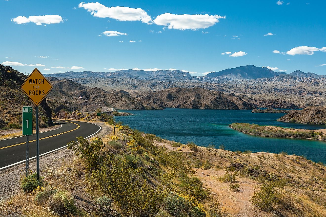
Mohave County in Arizona is the fifth-largest county with a total land and water area of about 13,470 square miles, and its county seat is Kingman City. The county had a population of 212,181 in 2019. Points of interest are Lake Mead, the Parashant National Monument, and portions of the Grand Canyon National Monument. First Nations reservations in the county belong to the Hualapai, Kaibab, and Fort Mojave nations. The wildlife refuges in the county include the Havasu National Wildlife Refuge, Kaibab National Forest, the Pipe Spring National Monument, and the Bill Williams River National Wildlife Refuge.
6. Apache, Arizona (11,218 square miles)
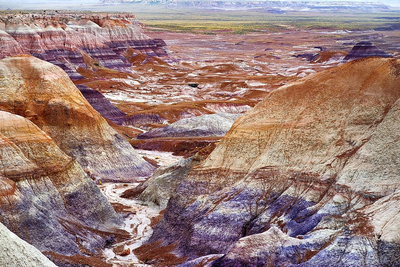
Apache County in Arizona is the sixth-largest county in the United States. The county has a total land and water surface area of 11,218 square miles. The county seat is St. Johns, and it had a population of 71,818 in 2018. Of these, First Nations Americans are the predominant majority, followed by Whites, Latinos, African Americans, Asian Americans, and Pacific Islanders. Points of interest in Apache County are Petrified Forest National Park, the Hubbell Trading Post National Historic Site, the Canyon de Chelly National Monument, and Apache-Sitgreaves National Forest. Religious affiliations here are most Roman Catholic, followed by The Church of Jesus Christ of Latter-Day Saints.
7. Lincoln, Nevada (10,637 square miles)
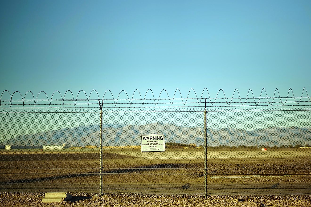
Lincoln County in Nevada has the seventh-largest total land and water area in the United States, covering 10,637 square miles. It is named after President Lincoln. Its population in 2018 was only about 5,201, of which 91.50% were white, 5.31% of Hispanic origin, 2.69% from other races, 1.78% African American, 1.75% First Nations American, 0.34% Asian, and 0.02% by those of Pacific Islander origins. The county seat is Pioche Template. The famous, or infamous, Area 51 is found in this county. There are three registered historic places and 16 wilderness areas in this vast county alone.
8. Sweetwater, Wyoming (10,491 square miles)
Sweetwater County, Wyoming is the eighth largest county in the country. Its total land and water surface area amounts to 10,491 square miles, which is larger than three individual states put together: Rhode Island, Delaware and Connecticut! It took its name from the Sweetwater River, which is a part of the Mississippi River system, so it eventually leads to the Gulf of Mexico. The county had, as of 2019, a total population of 42,343 with Whites predominating, followed by Latinos, First Nations Americans, African Americans, Asian Americans, and Pacific Islanders. Points of interest there are the three ghost towns of Bryan, Table Rock, and Winton. There are 34 registered National Historic Sites in the county of Sweetwater.
9. Inyo, California (10,227 square miles)
Inyo County in California is the ninth largest county with a total land and water area of 10,227 square miles. The county was named after an Indigenous tribal Shoshone chief. Independence is its county seat. Its 2018 population of 17,987 had a White majority, followed by Hispanics, First Nations Americans, Asian Americans, African Americans, and Pacific Islanders. There are 17 registered National Historic Places in Inyo County. Two of the key points of interest in Inyo County are Mushroom Rock, a rock formation created by erosion, and the Five Bridges Impact Area, a meadow that has been dewatered.
10. Harney, Oregon (10,226 square miles)
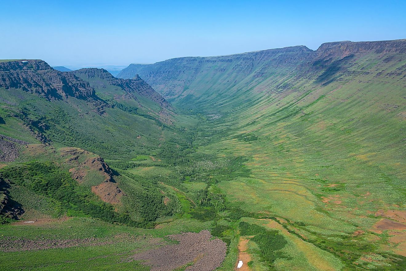
Harney County in Oregon is the tenth largest county in the US. The county was named after a military officer in 1889, and its total land and water area is 10,226 square miles. Its population, as of 2018, is about 7,329, of which is dominated in number by Whites, followed by First Nations Americans, Hispanics, Asian Americans, African Americans, and Pacific Islanders. It also has a small Spanish Basque population living there. There are a few registered National Historic Sites in the county. Points of interests there include two national forests and a wildlife refuge. Steens Mountain, a wilderness area, is another interesting place in the county.
Largest Counties In The US By Area
| Rank | County | State | Total Area (mi²) |
|---|---|---|---|
| 1 | San Bernardino County | California | 20,105.32 |
| 2 | Coconino County | Arizona | 18,661.21 |
| 3 | Nye County | Nevada | 18,158.73 |
| 4 | Elko County | Nevada | 17,202.94 |
| 5 | Mohave County | Arizona | 13,469.71 |
| 6 | Apache County | Arizona | 11,218.42 |
| 7 | Lincoln County | Nevada | 10,636.77 |
| 8 | Sweetwater County | Wyoming | 10,491.17 |
| 9 | Inyo County | California | 10,226.98 |
| 10 | Harney County | Oregon | 10,226.49 |
| 11 | Navajo County | Arizona | 9,959.49 |
| 12 | Malheur County | Oregon | 9,929.99 |
| 13 | Humboldt County | Nevada | 9,657.87 |
| 14 | Fremont County | Wyoming | 9,265.80 |
| 15 | Maricopa County | Arizona | 9,224.27 |
| 16 | Pima County | Arizona | 9,188.83 |
| 17 | White Pine County | Nevada | 8,896.60 |
| 18 | Idaho County | Idaho | 8,502.48 |
| 19 | Lake County | Oregon | 8,358.47 |
| 20 | Kern County | California | 8,161.42 |
| 21 | Yavapai County | Arizona | 8,127.78 |
| 22 | Clark County | Nevada | 8,090.66 |
| 23 | Carbon County | Wyoming | 7,964.03 |
| 24 | San Juan County | Utah | 7,933.09 |
| 25 | Owyhee County | Idaho | 7,696.71 |
| 26 | Riverside County | California | 7,303.13 |
| 27 | Tooele County | Utah | 7,287.12 |
| 28 | Park County | Wyoming | 6,968.51 |
| 29 | Catron County | New Mexico | 6,929.03 |
| 30 | St. Louis County | Minnesota | 6,859.91 |