Garonne River
Garonne River is a transboundary river in Western Europe that rises in Spain’s Central Pyrenees and flows through southwestern France before emptying into the Atlantic Ocean via the Gironde Estuary. It flows for approximately 575 kilometers, excluding the estuary. The estuary is formed at Bec d’Ambes, where the Garonne meets the Dordogne River. Garonne River is an important inland shipping route as a component of the Canal des Deux Mers that links the Atlantic Ocean and the Mediterranean Sea. The river’s water has a brown appearance due to the pollution and discharge from nearby settlements and nuclear plants.
Garonne River derived its name from the word “Garumna,” translating to “stony river.” It is known as “Rio Garona” in Spanish. It is one of the longest rivers in France, flowing for approximately 575 kilometers from its source in the central Spanish Pyrenees to Bec d’Ambes, where it meets the Dordogne River to form the Gironde estuary. The river is approximately 602 kilometers long from its source to its mouth at the Atlantic Ocean. However, only 47 kilometers of the river’s entire length is in Spain. Garonne River rises at an elevation of 2,600 meters above sea level and drains 56,000 square kilometers (84,811 including the Dordogne basin). It discharges 650 cubic meters of water per second into the estuary. Towns located near the river include Bossost, Vielha, Toulouse, Saint-Gaudens, Bordeaux, Muret, and Langon.
Source Of The Garonne River

Although the headwaters of the Garonne River are located in the Aran Valley in central Spanish Pyrenees, it rises from Pic Aneto slopes, Ratera-Saboredo cirque, or Plan de Beret. However, Plan de Beret’s Uelh deth Garona, located at 1,862 meters above sea level, is often considered Garonne’s main source. The river begins as a brook known as Beret-Garona, which runs for about 2.5 kilometers to Upper Garonne Valley. Then the river flows for 38 kilometers to Pont de Rei on the Spain-France border. Ratera-Saboredo cirque, rising 2,600 meters above sea level, is the source of the Ruda-Garona River, which flows for about 16 km before meeting the Beret-Garona brook at upper Garonne Valley. The third possible source is the Pic Aneto, from where the river flows through the Forau de Aigualluts sinkhole to the upper Garonne Valley for about12.4 kilometers.
Course Of The Garonne River

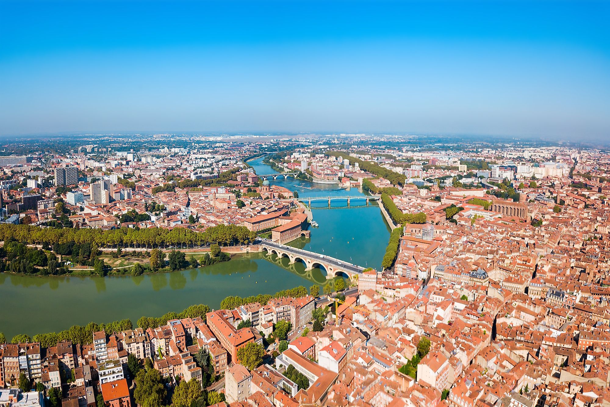
The Garonne River flows northwards in the Aran Valley and through a gorge in the high Val d’Aran Mountain before crossing into French territory at Point du Roi. Then, the flows eastwards and around Saint-Gaudens before turning northeast and into the vast alluvial plain, where it receives the Ariege River. After receiving Ariege, Garonne turns southeast and flows through Toulouse, then turns northwest to Bordeaux. Then it receives Tarn River near Moissac and Lot River at Marmande. At Bordeaux, the river flows between Medoc coastal strip and Entre-Deux-Mer peninsula, then joins the Dordogne River to form the Gironde Estuary. Other tributaries of the Garonne River include Gers, Save, Pique, Arize, Arrats, and Touch.
Significance Of The Garonne River

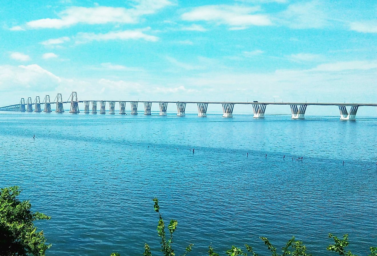
Garonne River is an important navigation route linked to the Mediterranean Sea by the Canal du Midi. The ships from the Atlantic Ocean sail to Garonne’s mouth through the Gironde estuary. The ships continue their sail on the tidal river to the stone bridge at Pont de Pierre. Garonne River is home to the critically endangered European sea sturgeon. This sturgeon species can live for 100 years and attain a weight of 400 kilometers.