Ecological Regions Of Zambia
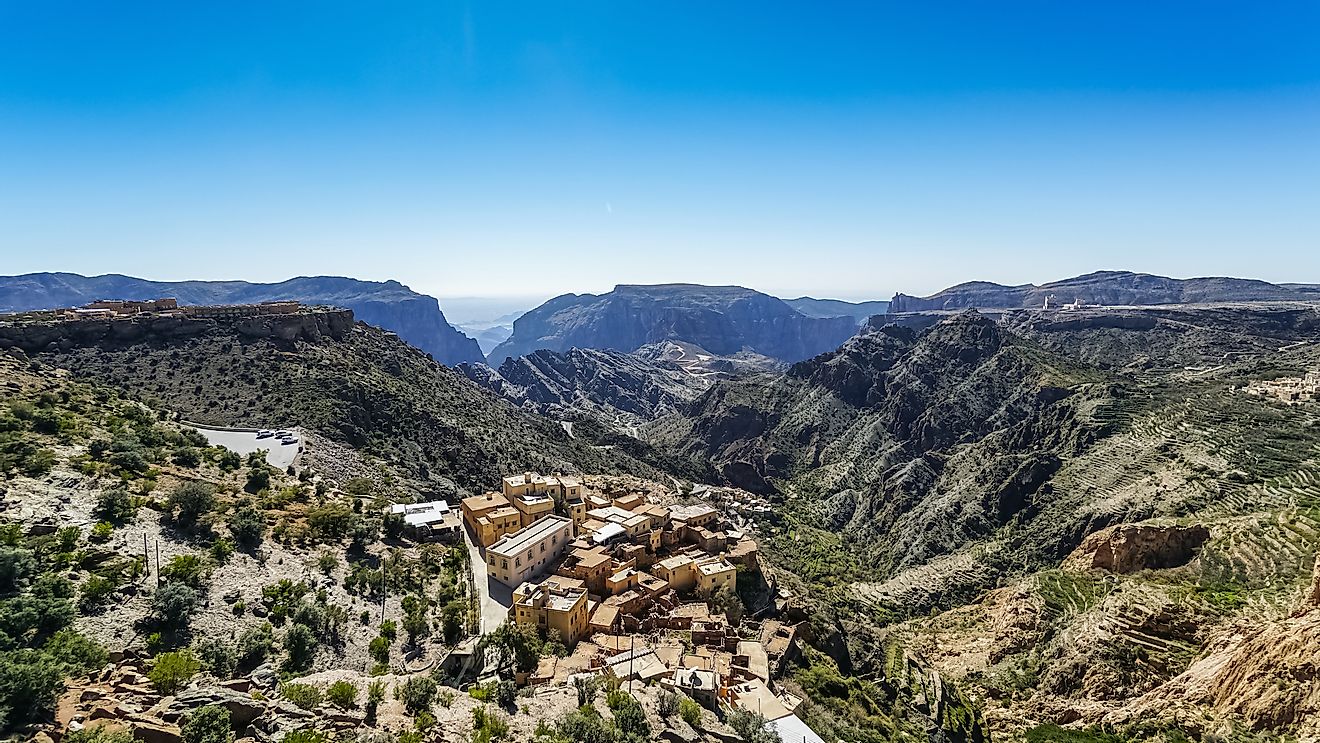
The Republic of Zambia is one of the landlocked countries in Africa, and it is bordered by Namibia, Tanzania, Malawi, the Democratic Republic of the Congo, Zimbabwe, and Mozambique. The Zambian population is mainly concentrated in the copper belt province and the capital Lusaka. The country covers an area of 752, 614 square kilometers making it the 39th largest country in the world. The country is characterized by tropical climate and consists of high plateaus, hills, mountains and rivers. Zambia’s elevation is between 1,000 meters and 1,600 meters above sea level, with an average altitude of 1,200 meters. The country is also characterized by two seasons, the rainy season between November and April and the dry season between June and October. Zambia has 14 ecosystems classified into four types, namely grassland vegetation, thickets, woodlands, and forests. Some of the country’s most notable ecological regions are discussed below.
Zambezian Cryptosepalum Dry Forests
The Zambezian Cryptosepalum Dry Forests ecological region is a tropical broad-leaf forest which consists of thick forests on the western side of Zambia. The forests are drained by Kabompo River and are mainly on the rolling hills of sandy soil. Zambezian Cryptosepalum Dry Forests has an elevation of between 1,100 to 1,200 meters above the sea level with a tropical savanna climate and an average temperature of 21 degrees centigrade. The flora consists of the tall mukwe trees and dense undergrowth while fauna consist of ungulates, bush-pigs, white-chested tinker birds, and yellow-rumped tinker birds. Poaching of wildlife remains a threat to this ecological region even though there are protected areas such as West Lunga National Park.
Central Zambezian Miombo Woodlands
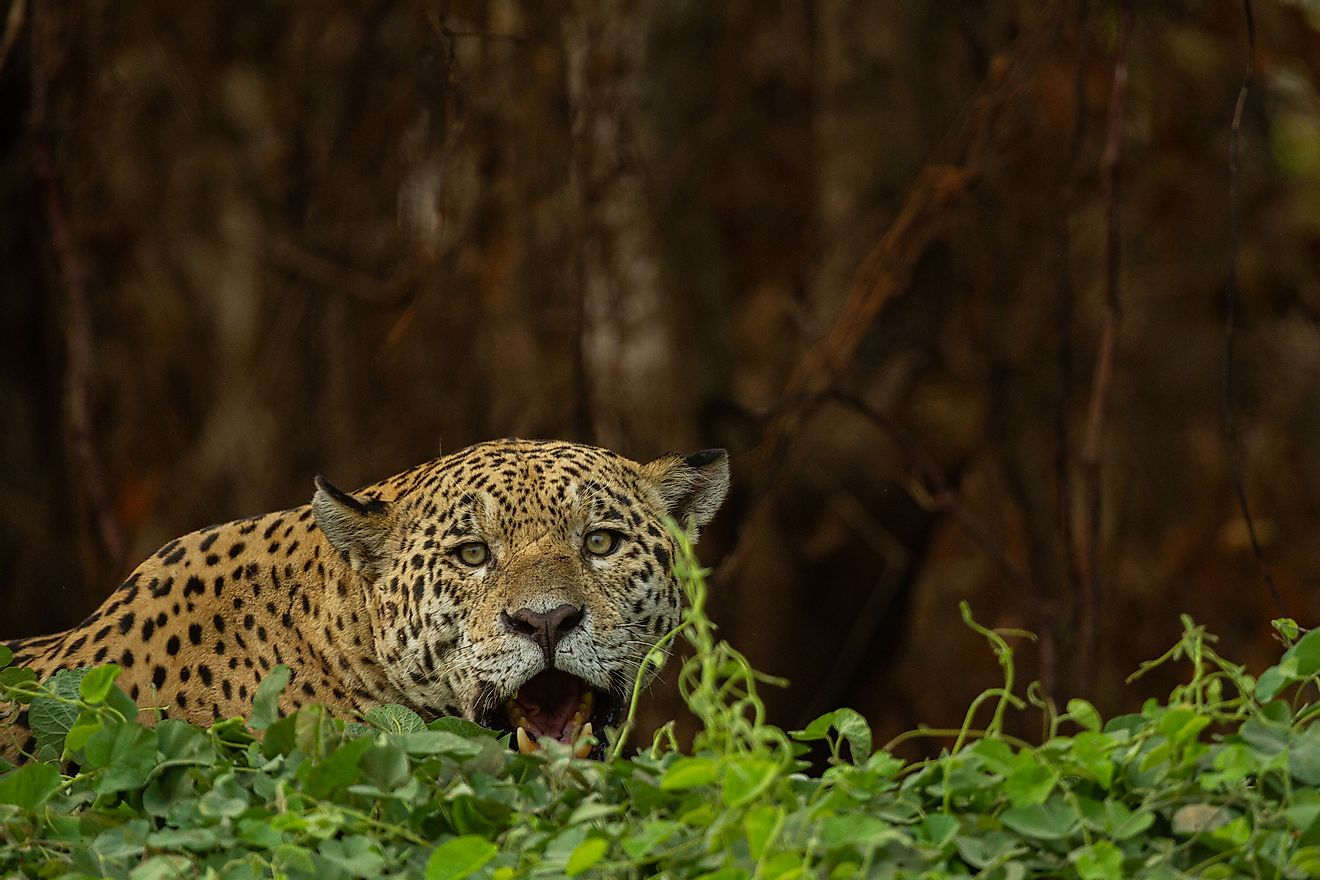
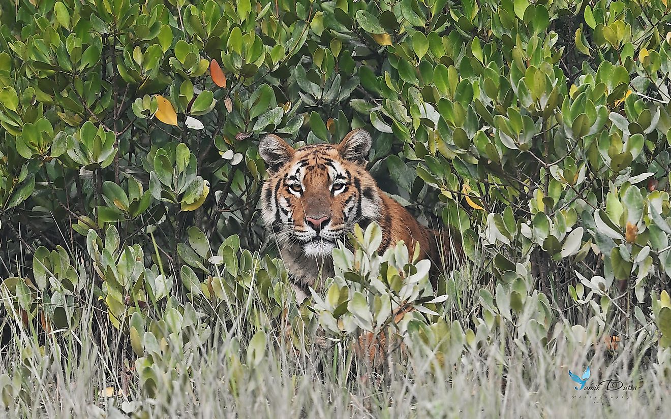
This ecological region of Zambia is a dense forest that cuts across Central Africa, and is one of the largest ecological zones in Africa. The area covers the northern part of Zambia and stretches through to Angola, the Democratic Republic of the Congo, Tanzania, Burundi, and Malawi. The region is characterized by plateaus and poor soil, tropical climate, and long dry seasons lasting around seven months. This ecological region is also a home to a wide range of wildlife including miombo flora of tall trees and grassland underneath. There are also evergreen trees. The grassland sustains several mammals including black rhinos, antelopes, buffaloes, and elephants. Some large carnivores, including lions, cheetahs, leopards, hyenas, and wild dogs, are also found in this region. Bush meat hunting and poaching of rhinos and elephants are the most common threats facing the wildlife in the region. Fires and clearing of the region for human settlement are also common.
Southern Miombo Woodlands
The Southern Miombo Woodlands ecological region lies mainly in the southern part of Zambia and is characterized by a flat landscape broken up with upwellings of inselberg formations. The woodland provides habitat for a variety of wildlife including African elephants, black rhinos, and antelopes. The region is part of the tropical savanna climate with temperatures ranging between 18 to 27 degrees centigrade. A significant portion of Southern Miombo Woodlands has been transformed by the growing human activities. Trees have been cut down for fuel while overgrazing has destroyed most of the underneath vegetation. Most of the area has also been cleared for cultivation.
Other ecological zones of Zambia include the Zambezian and Mopane Woodlands, the Zambezian Baikiaea Woodlands, the Western Zambezian Grasslands, the Itigi-Sumbu Thickets, and the Zambezian Flooded Grasslands. These ecological regions continue to face threats of human activities such as human encroachment and poaching.
Ecological Regions Of Zambia
| Rank | Ecoregion | Type |
|---|---|---|
| 1 | Zambezian Cryptosepalum Dry Forests | Terrestrial |
| 2 | Central Zambezian Miombo Woodlands | Terrestrial |
| 3 | Southern Miombo Woodlands | Terrestrial |
| 4 | Zambezian and Mopane Woodlands | Terrestrial |
| 5 | Zambezian Baikiaea Woodlands | Terrestrial |
| 6 | Western Zambezian Grasslands | Terrestrial |
| 7 | Itigi-Sumbu Thickets | Terrestrial |
| 8 | Zambezian Flooded Grasslands | Terrestrial |
| 9 | Southern Rift Montane Forest-Grassland Mosaic | Terrestrial |
| 10 | Bangweulu-Mweru | Freshwater |
| 11 | Lake Tanganyika | Freshwater |
| 12 | Zambezian Headwaters | Freshwater |
| 13 | Upper Zambezi Floodplains | Freshwater |
| 14 | Zambezi River | Freshwater |
| 15 | Kafue River | Freshwater |
| 16 | Middle Zambezi and Luangwa River | Freshwater |